
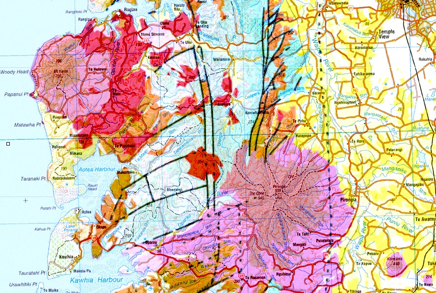
Image: Geology map of Karioi, Pirongia, Kakepuku and Te Kawa
Size of this preview: 800 × 538 pixels. Other resolutions: 320 × 215 pixels | 886 × 596 pixels.
Original image (886 × 596 pixels, file size: 394 KB, MIME type: image/jpeg)
Description: geology map overlain on topographical map
Title: Geology map of Karioi, Pirongia, Kakepuku and Te Kawa
Credit: http://data.gns.cri.nz/geology/ and http://www.topomap.co.nz/NZTopoMap/nz53324
Author: LINZ
Usage Terms: Public domain
License: Public domain
Attribution Required?: No
Image usage

All content from Kiddle encyclopedia articles (including the article images and facts) can be freely used under Attribution-ShareAlike license, unless stated otherwise.