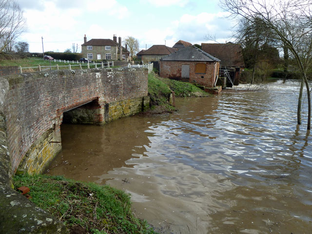
Image: Geograph 2269768 River Rother at Coultershaw
Description: River Rother at Coultershaw: The near bridge is that for the lock cut of the derelict Rother Navigation, but it has been lowered. Immediately above the bridge, out of sight, is what is left of the lock. The brick building is the engine house that formerly housed engines to power the mill here at times of low water. Beyond this are sluices and chambers for the former waterwheels that powered the mill, which is now demolished. The building dimly visible beyond the sluices houses a water powered water pump, formerly used to supply Petworth with water. The water level seen here is somewhat higher than usual.
Title: Geograph 2269768 River Rother at Coultershaw
Credit: From geograph.org.uk
Author: Robin Webster
Permission: Creative Commons Attribution Share-alike license 2.0
Usage Terms: Creative Commons Attribution-Share Alike 2.0
License: CC BY-SA 2.0
License Link: https://creativecommons.org/licenses/by-sa/2.0
Attribution Required?: Yes
Image usage
The following page links to this image:


