Image: Gem-OudeIJsselstreek-OpenTopo

Size of this preview: 593 × 599 pixels. Other resolutions: 237 × 240 pixels | 7,249 × 7,328 pixels.
Original image (7,249 × 7,328 pixels, file size: 7.68 MB, MIME type: image/jpeg)
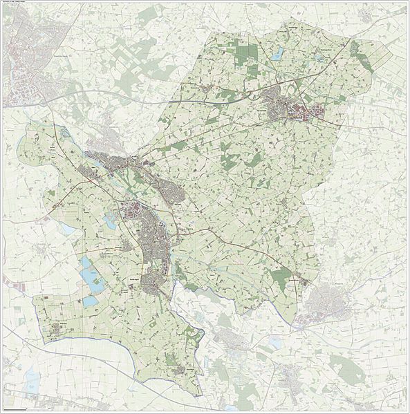
Description: Topografische gemeentekaart. Resolutie: 300 pixels/km. Kaartbeeld samengesteld uit de open geodata van de Top10NL en Top25namen (Kadaster), Creative Commons-BY licentie. Gebouwvlakken uit open geodata BAG extract. Wegen uit de OpenStreetMap, OpenStreetMap community. Reliëfschaduw uit de Actuele Hoogtekaart AHN2. Samenstelling en kleurenschema: Jan-Willem van Aalst, met QGIS. Zie ook de Legenda.
Title: Gem-OudeIJsselstreek-OpenTopo
Credit: Own work
Author: Janwillemvanaalst
Usage Terms: Creative Commons Attribution-Share Alike 4.0
License: CC BY-SA 4.0
License Link: https://creativecommons.org/licenses/by-sa/4.0
Attribution Required?: Yes
Image usage
The following page links to this image:

All content from Kiddle encyclopedia articles (including the article images and facts) can be freely used under Attribution-ShareAlike license, unless stated otherwise.
