
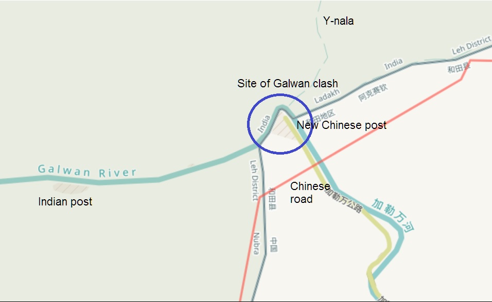
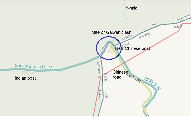
Image: Galwan clash site PP-14
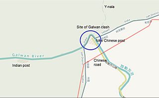
Size of this preview: 800 × 492 pixels. Other resolutions: 320 × 197 pixels | 956 × 588 pixels.
Original image (956 × 588 pixels, file size: 60 KB, MIME type: image/jpeg)
Description: The site of the June 2020 Galwan Valley clash between China and India. The Line of Actual Control marked by the US w:Office of the Geographer in red, and the line claimed by China in green. The Chinese road and the Chinese post at the river bend were constructed in the weeks following the clash.
Title: Galwan clash site PP-14
Credit: https://data.humdata.org/dataset/large-scale-international-boundaries-lsib
Author: Contributors to OpenStreetMap, US Office of the Geographer
Usage Terms: Public domain
License: Public domain
Attribution Required?: No
Image usage
The following page links to this image:

All content from Kiddle encyclopedia articles (including the article images and facts) can be freely used under Attribution-ShareAlike license, unless stated otherwise.