
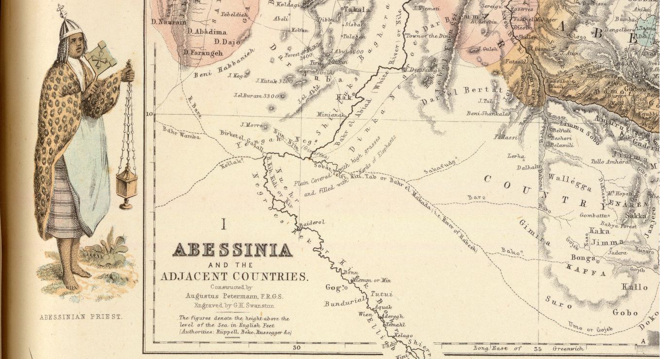
Image: Fullarton8 1860s Map of Central Africa
Size of this preview: 800 × 435 pixels. Other resolutions: 320 × 174 pixels | 1,358 × 739 pixels.
Original image (1,358 × 739 pixels, file size: 258 KB, MIME type: image/jpeg)
Description: Portion of A. Fullarton map "Abessinia and the Adjacent Countries" from the atlas "Royal Illustrated Atlas of Modern Geography" published in Edinburgh 1864-1872
Title: Fullarton8 1860s Map of Central Africa
Credit: http://www.davidrumsey.com/luna/servlet/view/search?q=+Pub_List_No%3D%273007.000%27%22%20LIMIT:RUMSEY~8~1&sort=Pub_Date,Pub_List_No_InitialSort
Author: Augustus Heinrich Petermann (1822 – 1878), George Heriot Swanston (1814-?)
Usage Terms: Public domain
License: Public domain
Attribution Required?: No
Image usage
The following page links to this image:

All content from Kiddle encyclopedia articles (including the article images and facts) can be freely used under Attribution-ShareAlike license, unless stated otherwise.