
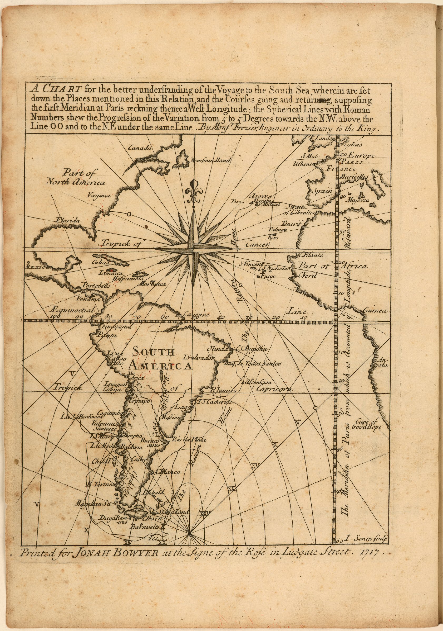
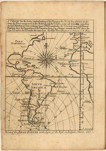
Image: Frezier Voyage South Sea chart
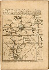
Size of this preview: 422 × 600 pixels. Other resolutions: 169 × 240 pixels | 1,682 × 2,391 pixels.
Original image (1,682 × 2,391 pixels, file size: 1.08 MB, MIME type: image/jpeg)
Description: Frontispiece, engraved chart of western Europe, western Africa, South America, and eastern North America. Prime meridian: Paris. Includes a compass rose, the Equator, and route tracks.
Title: Frezier Voyage South Sea chart
Credit: A voyage to the South-sea, and along the coasts of Chili and Peru, in the years 1712, 1713, and 1714. London: 1717. https://jcb.lunaimaging.com/luna/servlet/view/search/when/1717?q=E717+F896v&sort=normalized_date%2Cfile_name%2Csource_author%2Csource_title
Author: Amédée François Frézier
Usage Terms: Public domain
License: Public domain
Attribution Required?: No
Image usage
The following page links to this image:

All content from Kiddle encyclopedia articles (including the article images and facts) can be freely used under Attribution-ShareAlike license, unless stated otherwise.