
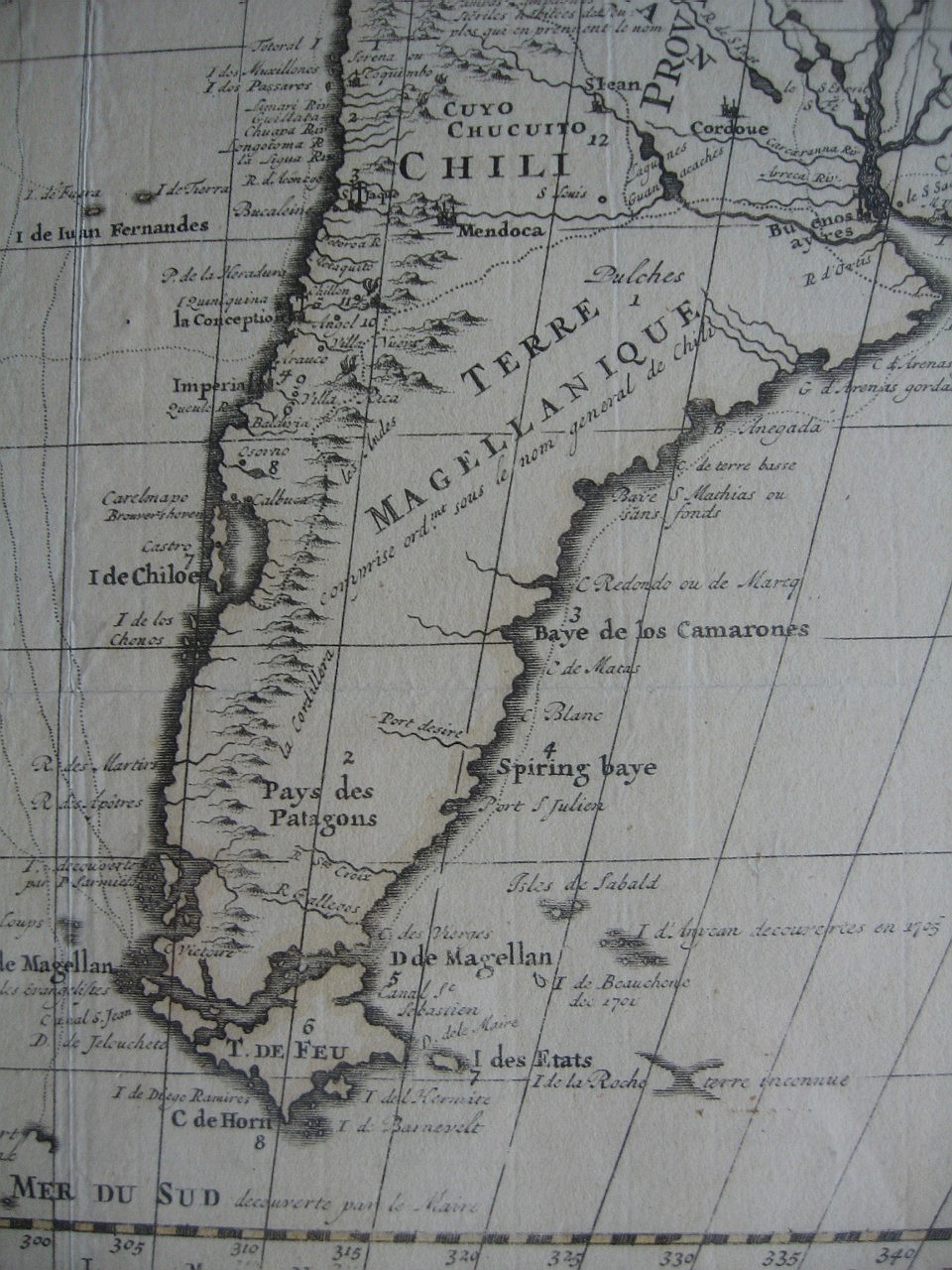
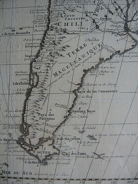
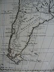
Image: French map of South America, c. 1710
Size of this preview: 450 × 600 pixels. Other resolutions: 180 × 240 pixels | 960 × 1,280 pixels.
Original image (960 × 1,280 pixels, file size: 337 KB, MIME type: image/jpeg)
Description: The southern parts of South America with the Falkland Islands. Cropped from a French map of South America, c. 1710
Title: French map of South America, c. 1710
Credit: Own work
Author: Lubiesque
Usage Terms: Creative Commons Attribution-Share Alike 3.0
License: CC BY-SA 3.0
License Link: https://creativecommons.org/licenses/by-sa/3.0
Attribution Required?: Yes
Image usage
The following page links to this image:

All content from Kiddle encyclopedia articles (including the article images and facts) can be freely used under Attribution-ShareAlike license, unless stated otherwise.