
Image: FranklinSomerset&KennebecRailwayMap
Size of this preview: 487 × 599 pixels. Other resolutions: 195 × 240 pixels | 1,566 × 1,926 pixels.
Original image (1,566 × 1,926 pixels, file size: 1.39 MB, MIME type: image/png)
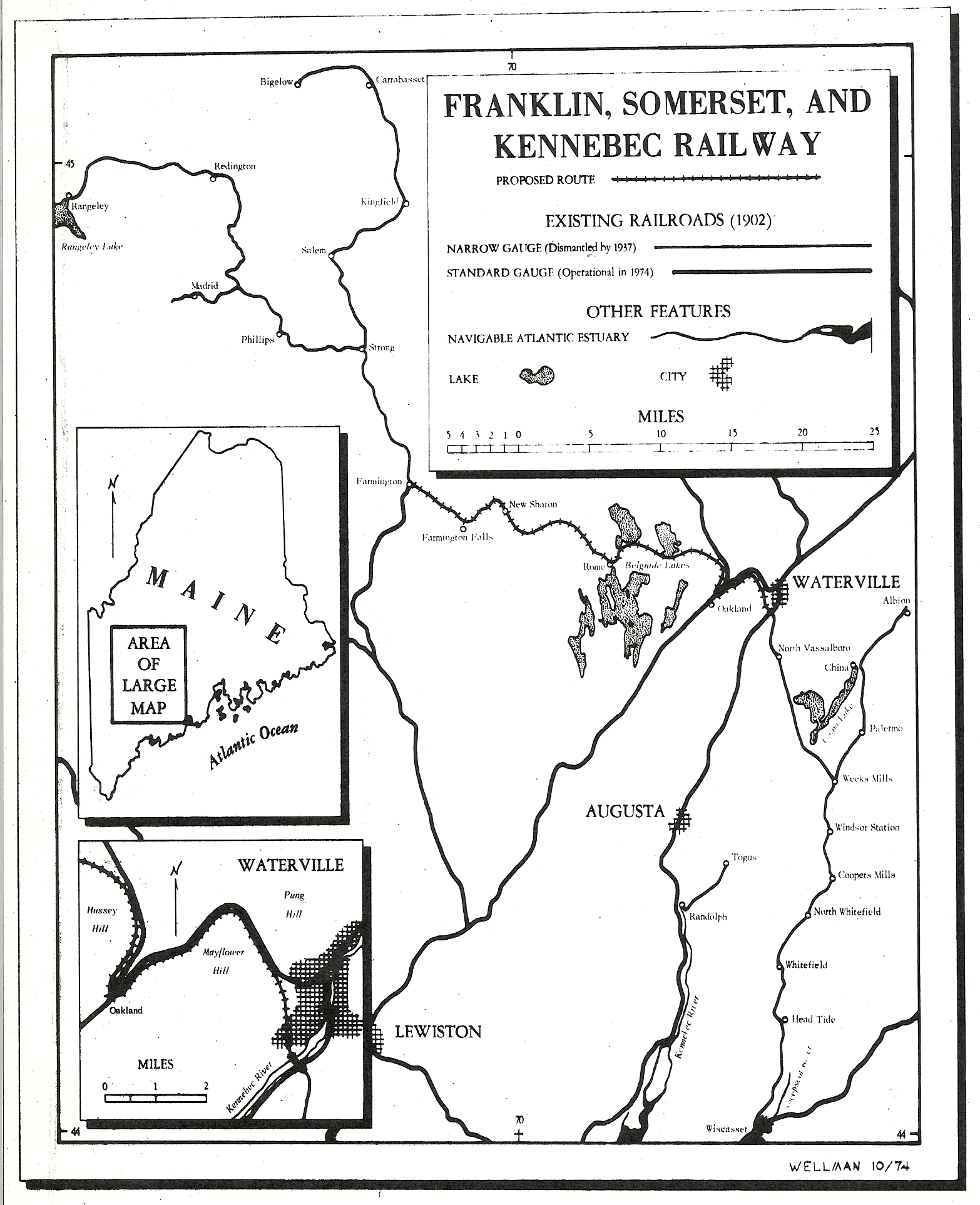
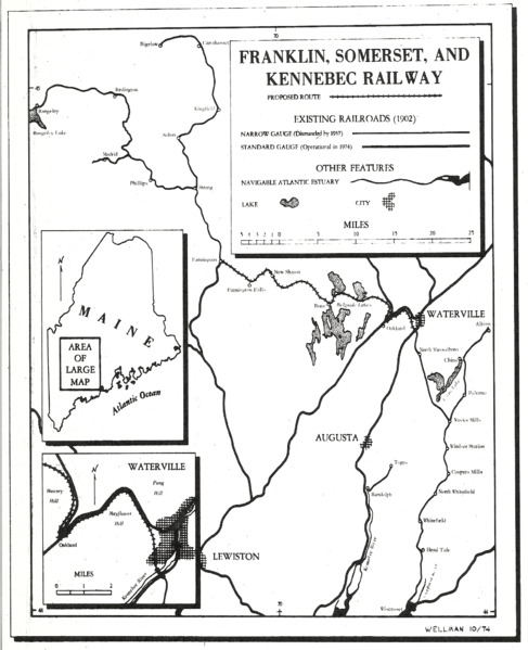
Description: Map of the proposed 2-foot gauge Franklin, Somerset and Kennebec Railway which would have connected the Wiscasset, Waterville and Farmington Railway with the Sandy River Railroad.
Title: FranklinSomerset&KennebecRailwayMap
Credit: Own work
Author: Thewellman
Usage Terms: Public domain
License: Public domain
Attribution Required?: No
Image usage
The following page links to this image:

All content from Kiddle encyclopedia articles (including the article images and facts) can be freely used under Attribution-ShareAlike license, unless stated otherwise.