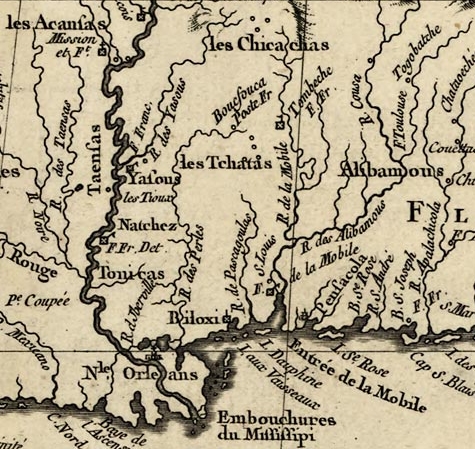
Image: Fort Tombecbe
Description: A portion of the original map: Louisiana and adjoining countries. Showing the location of Fort Tombecbe in what is now Sumter County, Alabama.
Title: Fort Tombecbe
Credit: This image is available from the United States Library of Congress's Prints and Photographs division under the digital ID g3300.ar011101. This tag does not indicate the copyright status of the attached work. A normal copyright tag is still required. See Commons:Licensing for more information. العربية | čeština | Deutsch | English | español | فارسی | suomi | français | magyar | italiano | македонски | മലയാളം | Nederlands | polski | português | русский | slovenčina | slovenščina | Türkçe | українська | 中文 | 中文(简体) | 中文(繁體) | +/−
Author: Jacques Nicolas Bellin
Permission: This work is in the public domain in its country of origin and other countries and areas where the copyright term is the author's life plus 100 years or less. You must also include a United States public domain tag to indicate why this work is in the public domain in the United States. This file has been identified as being free of known restrictions under copyright law, including all related and neighboring rights.
Usage Terms: Public domain
License: Public domain
Attribution Required?: No
Image usage
The following page links to this image:


