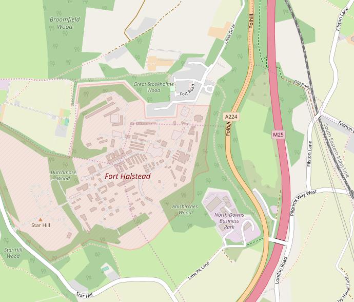
Image: Fort Halstead map
Fort_Halstead_map.jpg (690 × 588 pixels, file size: 58 KB, MIME type: image/jpeg)
Description: Fort Halstead is an historic Victorian era defensive fort that became a weapons research laboratory during the 20th century.
Title: Fort Halstead map
Credit: Openstreetmap https://www.openstreetmap.org/#map=15/51.3101/0.1402 OpenStreetMap® is open data, licensed under the Open Data Commons Open Database License (ODbL) by the OpenStreetMap Foundation (OSMF).
Author: © OpenStreetMap contributors
Usage Terms: Creative Commons Attribution-Share Alike 4.0
License: CC BY-SA 4.0
License Link: https://creativecommons.org/licenses/by-sa/4.0
Attribution Required?: Yes
Image usage
The following page links to this image:

All content from Kiddle encyclopedia articles (including the article images and facts) can be freely used under Attribution-ShareAlike license, unless stated otherwise.

