Image: FortDavisCampaignMap
FortDavisCampaignMap.jpg (290 × 344 pixels, file size: 21 KB, MIME type: image/jpeg)
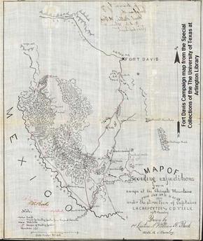
Description: A photo of a black and white hand drawn map from 1880 showing Fort Davis and the Chinati Mountains used during military campaigns against the Apache Indians led by Victorio.
Title: FortDavisCampaignMap
Credit: Special Collections, The University of Texas at Arlington Library
Usage Terms: Fair use of copyrighted material in the context of Louis H. Carpenter
License: Fair use
License Link: //en.wikipedia.org/wiki/File:FortDavisCampaignMap.jpg
Image usage
The following 2 pages link to this image:

All content from Kiddle encyclopedia articles (including the article images and facts) can be freely used under Attribution-ShareAlike license, unless stated otherwise.

