Image: FondDuLac

Size of this preview: 600 × 600 pixels. Other resolutions: 240 × 240 pixels | 1,650 × 1,650 pixels.
Original image (1,650 × 1,650 pixels, file size: 359 KB, MIME type: image/jpeg)
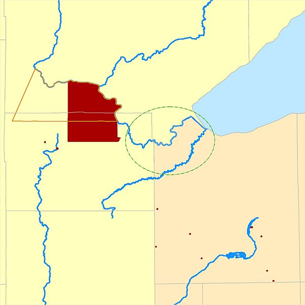
Description: Map showing the original Fond du Lac of Lake Superior Chippewa area, the 1854-1858 Fond du Lac Indian Reservation boundaries, 1858-present Fond du Lac Indian Reservation boundaries, off-reservation Fond du Lac land holdings, and Minnesota Chippewa Tribe land holdings to which Fond du Lac Band exert jurisdiction.
Title: FondDuLac
Credit: Own work (Original text: I (CJLippert (talk)) created this work entirely by myself.)
Author: CJLippert (talk)
Usage Terms: Creative Commons Attribution 3.0
License: CC BY 3.0
License Link: https://creativecommons.org/licenses/by/3.0
Attribution Required?: Yes
Image usage
The following page links to this image:

All content from Kiddle encyclopedia articles (including the article images and facts) can be freely used under Attribution-ShareAlike license, unless stated otherwise.
