Image: Floyd1999NCLandfall
Floyd1999NCLandfall.gif (773 × 455 pixels, file size: 845 KB, MIME type: image/gif, looped, 31 frames, 11 s)
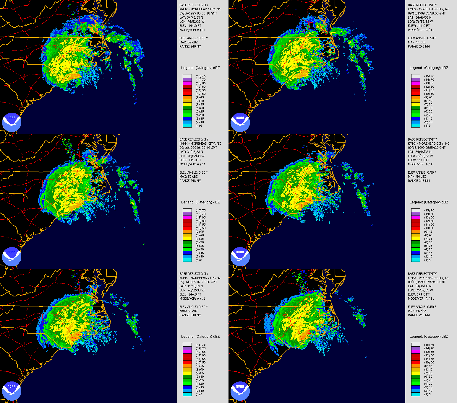
Description: Hurricane Floyd making landfall in North Carolina on September 16th, 1999. Radar is long range base relectivity. Created using NCDC JAVA NEXRAD tool.
Title: Floyd1999NCLandfall
Credit: Source data from NCDC NEXRAD database: http://www.ncdc.noaa.gov/nexradinv/.
Author: file created by Hello32020
Usage Terms: Public domain
License: Public domain
Attribution Required?: No
Image usage
The following page links to this image:

All content from Kiddle encyclopedia articles (including the article images and facts) can be freely used under Attribution-ShareAlike license, unless stated otherwise.

