
Image: Florida night-time satellite image before-and-after Hurricane Irma
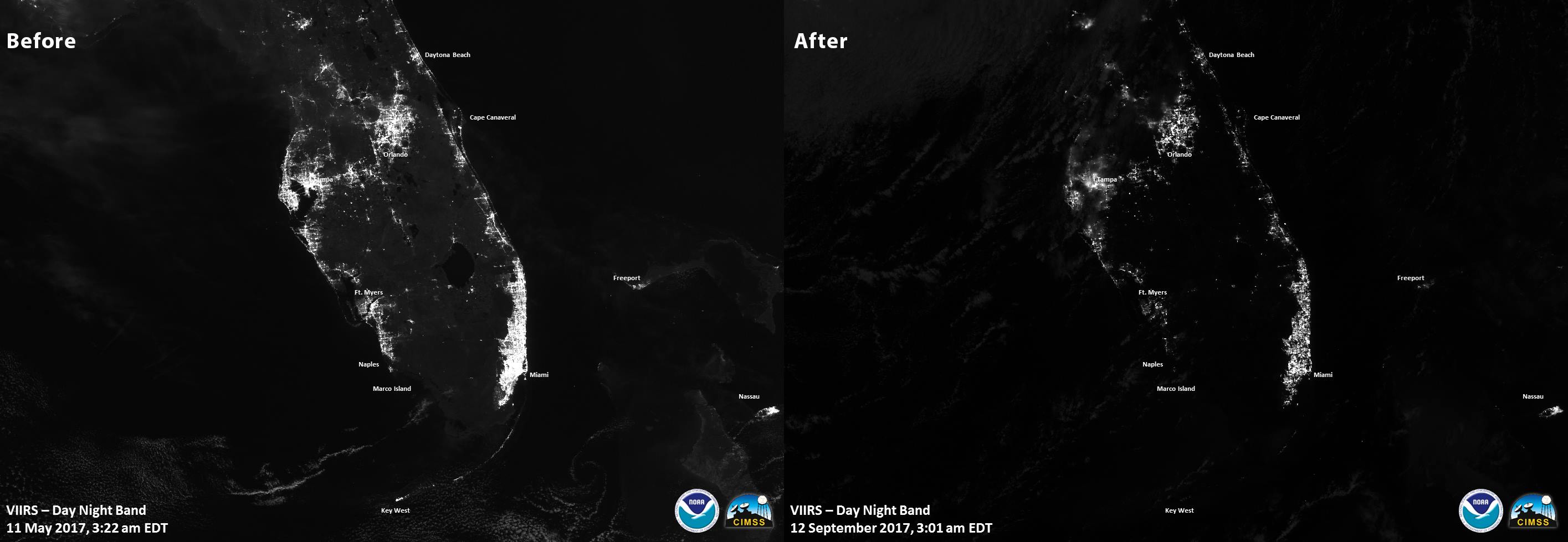
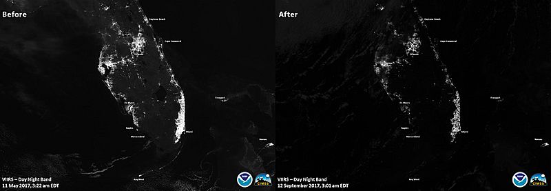
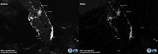
Description: Night-time satellite images of Florida before (left; 11 May 2017) and after (right; 12 September 2017) Hurricane Irma, which made landfall near Naples, in the southwest corner of peninsular Florida, as a Category 4 hurricane and exited the state into Georgia (top of image) as a tropical storm. The hurricane left over 7 million customers—over 62% of the state's electric customers—without grid (mains) electrical power as of the evening of September 11, 2017. (Sources: Tampa Bay Times, Mashable) The right image was captured at 3:01AM EDT (7:01 UTC) on the morning of September 12. The left image was captured at 3:11AM EDT (7:11 UTC) on May 11, 2017. Both images were captured by the Visible Infrared Imaging Radiometer Suite (VIIRS) sensors on the Suomi NPP weather satellite. The composite before-and-after image was part of a tweet with the following text: "Want to know what power outages after #Irma looked like from #space? The VIIRS instrument on Suomi NPP #satellite captured these views:"
Title: Florida night-time satellite image before-and-after Hurricane Irma
Credit: Tweeted (image URL) by the "NOAA Satellites" account
Author: NASA/NOAA
Usage Terms: Public domain
License: Public domain
Attribution Required?: No
Image usage
The following page links to this image:
