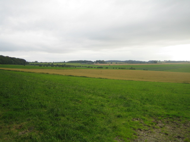
Image: Farmland near Down Dairy - geograph.org.uk - 914318
Farmland_near_Down_Dairy_-_geograph.org.uk_-_914318.jpg (640 × 480 pixels, file size: 91 KB, MIME type: image/jpeg)
Description: Farmland near Down Dairy This view looking west is of farmland south of Down Dairy, with Terrace Wood just visible to the left. The low line of trees in the middle distance marks the Wessex Ridgeway which crosses north to south. The hills in the far distance are near East Knoyle, and include Haddon Hill which rises to 220m.
Title: Farmland near Down Dairy - geograph.org.uk - 914318
Credit: From geograph.org.uk
Author: Andy Gryce
Usage Terms: Creative Commons Attribution-Share Alike 2.0
License: CC BY-SA 2.0
License Link: https://creativecommons.org/licenses/by-sa/2.0
Attribution Required?: Yes
Image usage
The following page links to this image:

All content from Kiddle encyclopedia articles (including the article images and facts) can be freely used under Attribution-ShareAlike license, unless stated otherwise.

