
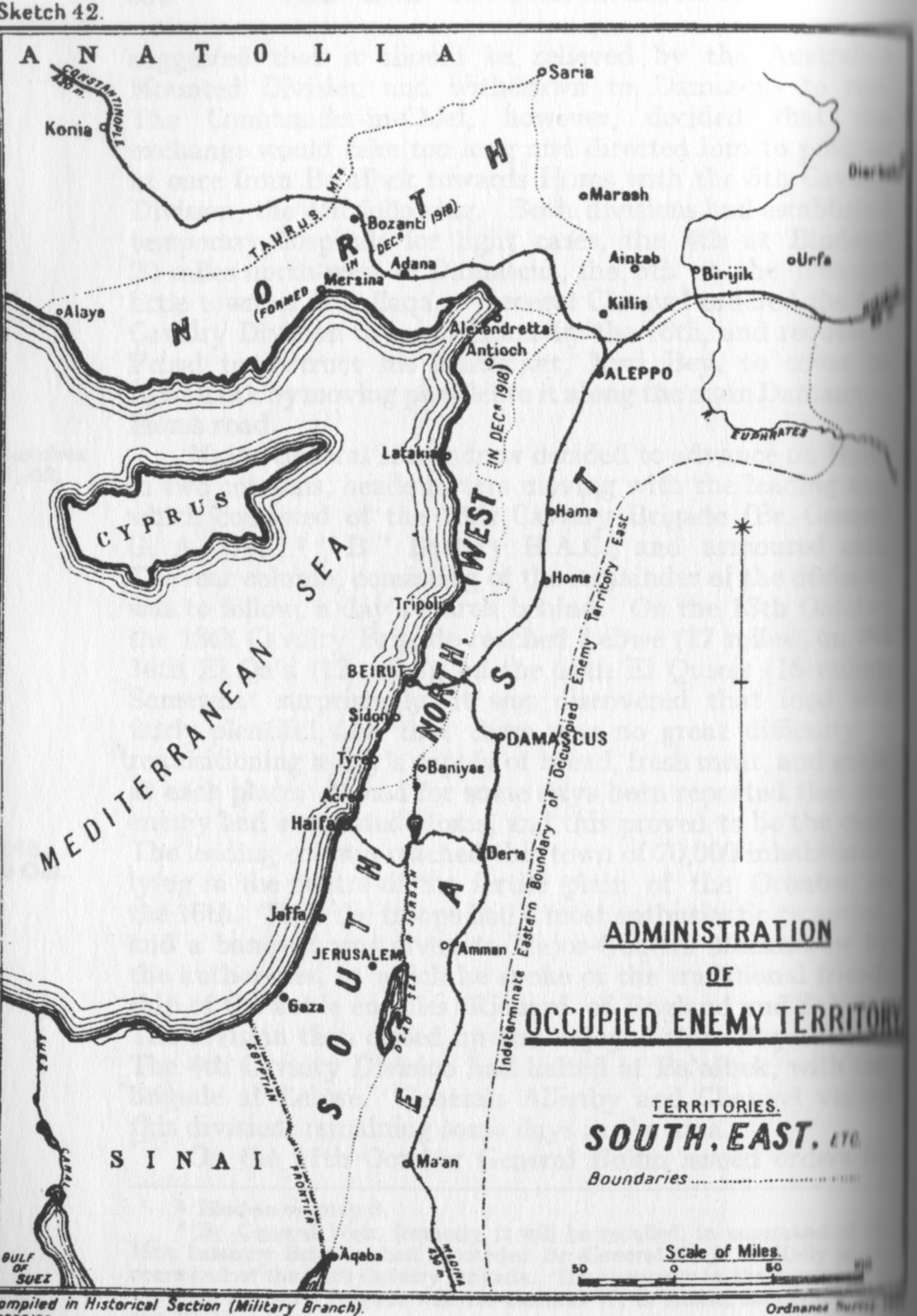
Image: FallsSkMap42Admin
Size of this preview: 417 × 599 pixels. Other resolutions: 167 × 240 pixels | 1,338 × 1,921 pixels.
Original image (1,338 × 1,921 pixels, file size: 492 KB, MIME type: image/jpeg)
Description: Falls Sketch Map 42 Administration of occupied territory
Title: FallsSkMap42Admin
Credit: Official History of the Great War Based on Official Documents by Direction of the Historical Section of the Committee of Imperial Defence; Military Operations Egypt & Palestine from June 1917 to the End of the War Vol. 2 Part II
Author: Cyril Falls, A. F. Becke (maps)
Usage Terms: Public domain
License: Public domain
Attribution Required?: No
Image usage
The following 2 pages link to this image:

All content from Kiddle encyclopedia articles (including the article images and facts) can be freely used under Attribution-ShareAlike license, unless stated otherwise.