
Image: Falklands map mid
Size of this preview: 800 × 501 pixels. Other resolutions: 320 × 200 pixels | 2,100 × 1,314 pixels.
Original image (2,100 × 1,314 pixels, file size: 960 KB, MIME type: image/jpeg)
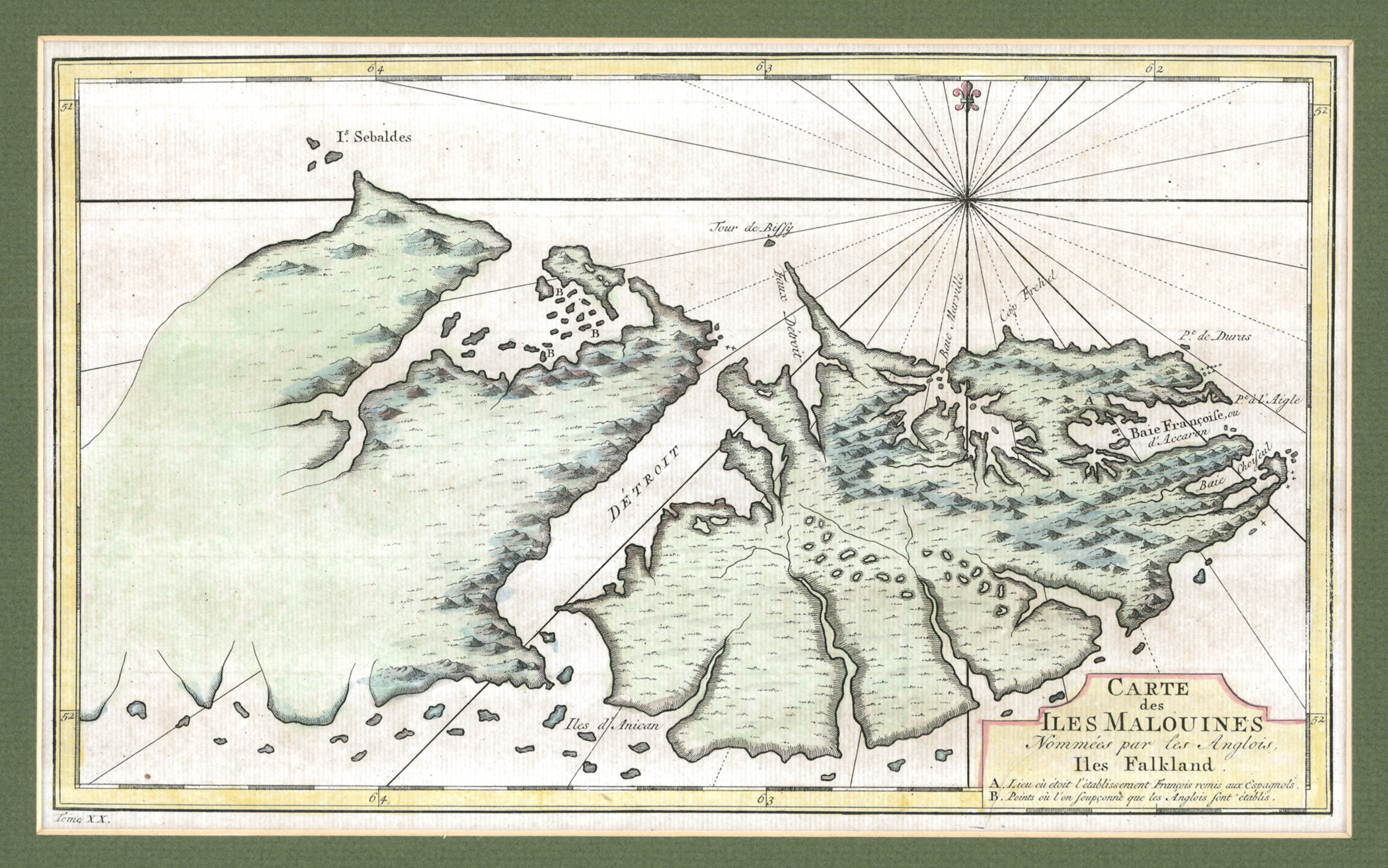
Description: The map was drawn by the French cartographer Etienne André Philippe de Pretot in the late 1760s, and first appeared in the 1771 edition of the explorer Louis-Antoine de Bougainville’s book Voyages. The heading says in old French: “Carte des Iles Malouines, Nommées par les Anglois Iles Falkland,” or “Map of the Malouines Islands which the English call the Falkland Islands.”
Title: Falklands map mid
Credit: http://www.asiapacificms.com/articles/argentine_sovereignty/
Author: Etienne André Philippe de Pretot
Usage Terms: Public domain
License: Public domain
Attribution Required?: No
Image usage
The following page links to this image:

All content from Kiddle encyclopedia articles (including the article images and facts) can be freely used under Attribution-ShareAlike license, unless stated otherwise.