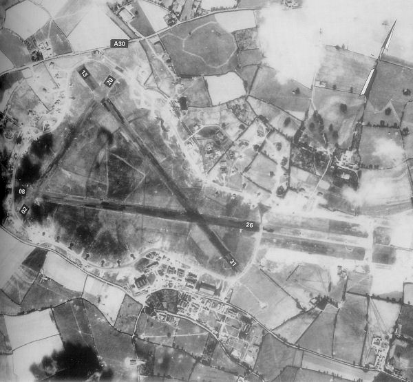
Image: Exeter-20may44
Description: Exeter Airfield, England
Title: Exeter-20may44
Credit: Freeman, Roger A., Airfields Of The Ninth, Then And Now, 1993 (where the annotations are from)
Author: Royal Ordinance Survey.
Permission: This work is an Ordnance Survey map over 50 years old, which is covered by Crown Copyright which in this case expires 50 years after publication. Ordnance Survey does however ask that they be credited and that the date of publication be given. Any ancillary rights gained through the creation of the electronic version are granted as freely usable under any circumstances. This artistic work created by the United Kingdom Government is in the public domain. This is because it is one of the following: It is a photograph created by the United Kingdom Government and taken prior to 1 June 1957; or It was commercially published prior to 1967; or It is an artistic work other than a photograph or engraving (e.g. a painting) which was created by the United Kingdom Government prior to 1967. HMSO has declared that the expiry of Crown Copyrights applies worldwide (ref: HMSO Email Reply) More information. See also Copyright and Crown copyright artistic works. Deutsch | English | suomi | français | italiano | 日本語 | македонски | മലയാളം | Nederlands | polski | português | русский | slovenščina | Türkçe | 中文 | +/− This file was reviewed on 19 June 2009 by the administrator or trusted user NuclearWarfare (talk), who confirmed the Public Domain status on that date.
Usage Terms: Public domain
License: Public domain
Attribution Required?: No
Image usage
The following page links to this image:


