
Image: Ellendalemap1906
Size of this preview: 775 × 599 pixels. Other resolutions: 310 × 240 pixels | 936 × 724 pixels.
Original image (936 × 724 pixels, file size: 110 KB, MIME type: image/jpeg)
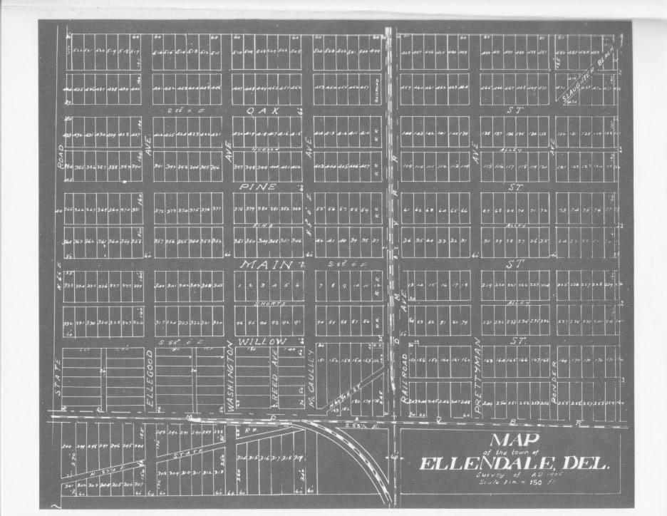
Description: Map of the town of Ellendale, Delaware as planners laid it out in 1906.
Title: Ellendalemap1906
Credit: http://stateplanning.delaware.gov/comp_plans/ellendale_illustrations_maps.pdf
Permission: Map is from 1906, as indicated on map
Usage Terms: Public domain
License: Public domain
Attribution Required?: No
Image usage
The following page links to this image:

All content from Kiddle encyclopedia articles (including the article images and facts) can be freely used under Attribution-ShareAlike license, unless stated otherwise.