
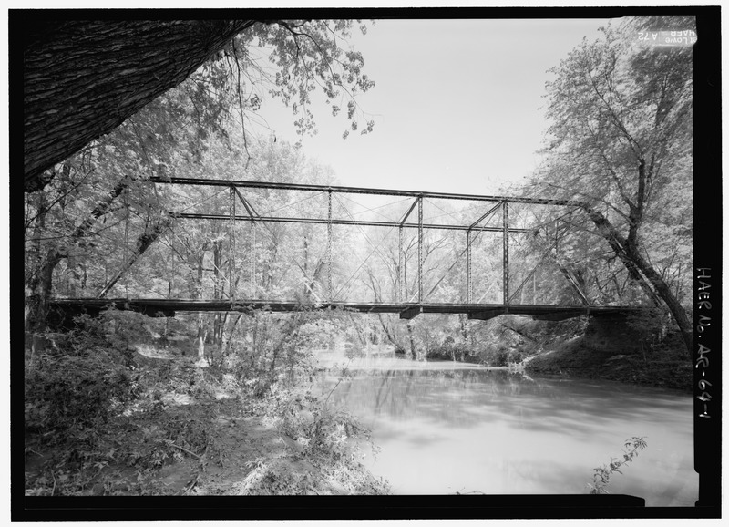
Image: Elevation downstream from west - Fryer's Ford Bridge, Spanning East Fork of Point Remove Creek at Fryer Bridge Road (CR 67), Solgohachia, Conway County, AR HAER AR-64-1
Title: Elevation downstream from west - Fryer's Ford Bridge, Spanning East Fork of Point Remove Creek at Fryer Bridge Road (CR 67), Solgohachia, Conway County, AR
Credit: http://www.loc.gov/pictures/item/ar0136.photos.363577p
Author: Lowe, Jet Related names: Hammond , David Cook, Alfred Reeves, W R Abbott, John American Bridge Company Pratt, Thomas Pratt, Caleb
Permission: This image or media file contains material based on a work of a National Park Service employee, created as part of that person's official duties. As a work of the U.S. federal government, such work is in the public domain in the United States. See the NPS website and NPS copyright policy for more information.
Usage Terms: Public domain
License: Public domain
Attribution Required?: No
Image usage
The following page links to this image:
