
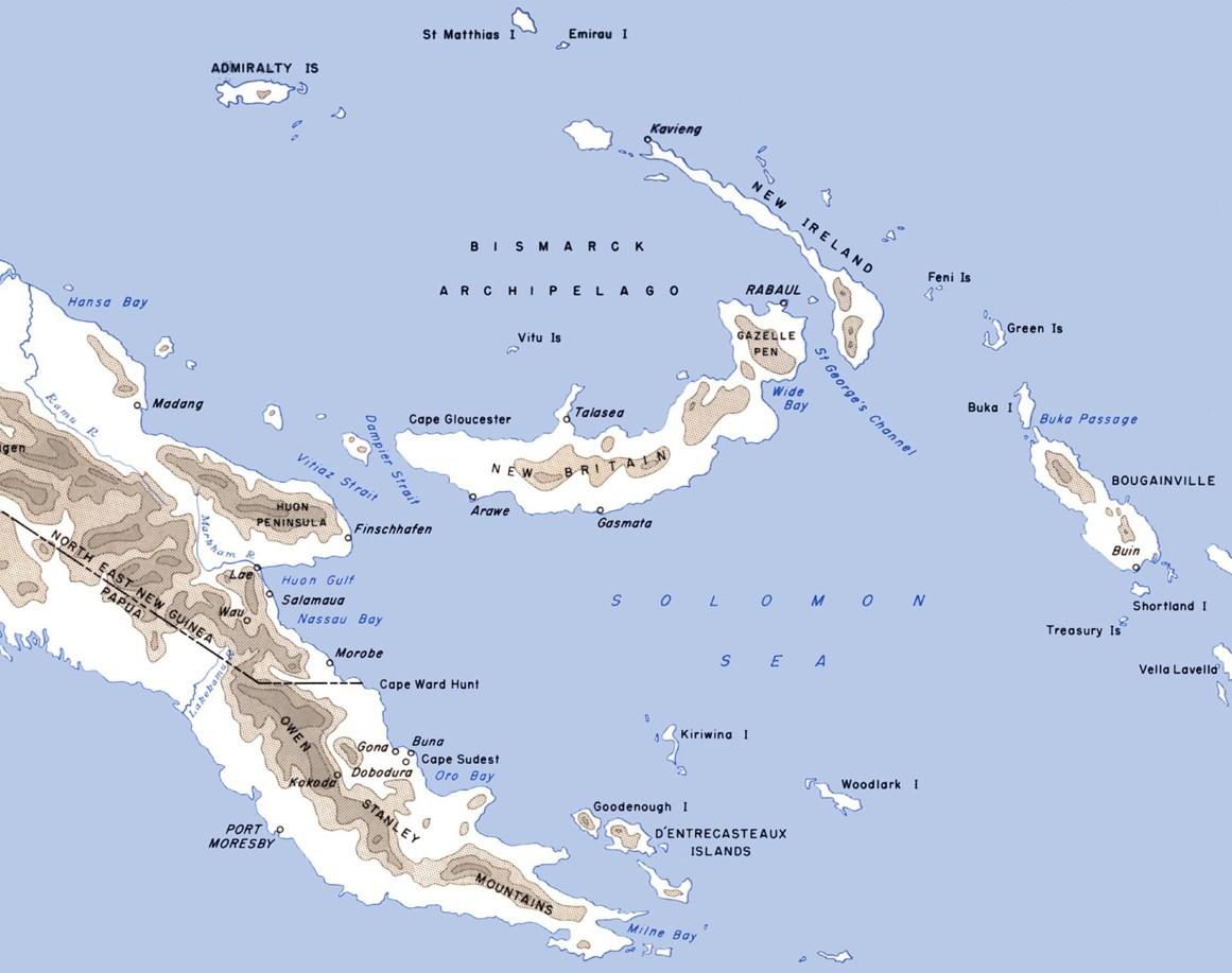
Image: Eastern New Guinea and New Britain 1944
Size of this preview: 759 × 599 pixels. Other resolutions: 304 × 240 pixels | 1,161 × 917 pixels.
Original image (1,161 × 917 pixels, file size: 95 KB, MIME type: image/jpeg)
Description: Map of eastern New Guinea, New Britain, New Island and neighbouring islands with locations of importance in World War II marked
Title: Eastern New Guinea and New Britain 1944
Credit: CartwheelAreaMap.jpg
Author: F. Temple derivative work: Nick-D (talk)
Usage Terms: Public domain
License: Public domain
Attribution Required?: No
Image usage
The following 2 pages link to this image:

All content from Kiddle encyclopedia articles (including the article images and facts) can be freely used under Attribution-ShareAlike license, unless stated otherwise.