
Image: EasternPanhandleWVNew

Size of this preview: 668 × 600 pixels. Other resolutions: 267 × 240 pixels | 743 × 667 pixels.
Original image (743 × 667 pixels, file size: 27 KB, MIME type: image/png)
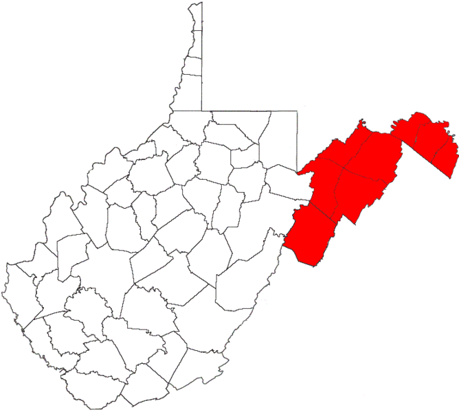
Description: Map showing the Eastern Panhandle of West Virginia in red.
Title: EasternPanhandleWVNew
Credit: Transferred from en.wikipedia to Commons.
Author: Caponer at English Wikipedia
Usage Terms: Public domain
License: Public domain
Attribution Required?: No
Image usage
The following page links to this image:

All content from Kiddle encyclopedia articles (including the article images and facts) can be freely used under Attribution-ShareAlike license, unless stated otherwise.