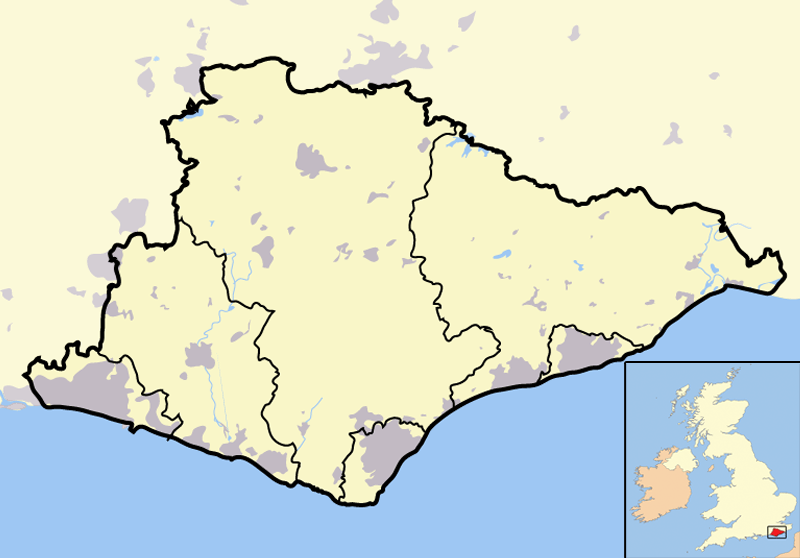
Image: East Sussex outline map with UK
Description: Map of the county of East Sussex, England, United Kingdom. In the bottom-left hand corner of the image is a mini-map of the British Isles showing the location and relative size of East Sussex in red. On the main map, urban areas are in grey while rural areas are in yellow; the blue lines are rivers.
Title: East Sussex outline map with UK
Credit: Completely self-made, but boundaries and features can be verified via a variety of sources including (but not exclusive to) the Fifth periodical report - Volume 3 Mapping for the London Boroughs and the Metropolitan Counties by the Boundary Commission for England.
Author: Jhamez84
Usage Terms: Public domain
License: Public domain
Attribution Required?: No
Image usage
The following page links to this image:


