
Image: Early Indo-European river names

Size of this preview: 800 × 557 pixels. Other resolutions: 320 × 223 pixels | 1,677 × 1,167 pixels.
Original image (1,677 × 1,167 pixels, file size: 777 KB, MIME type: image/jpeg)
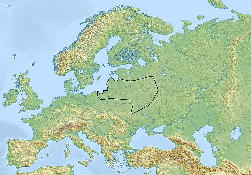
Description: Map of the distribution of early Indo-European river names, in accordance with the research of Hans Krahe and Wolfgang Schmid. The original version of this map was printed in on page 294 in the Encyclopedia of Indo-European Culture, which was edited by J. P. Mallory and Douglas Q. Adams, and published by Taylor & Francis in 1997.
Title: Early Indo-European river names
Credit: Own work
Author: Krakkos
Usage Terms: Creative Commons Attribution-Share Alike 4.0
License: CC BY-SA 4.0
License Link: https://creativecommons.org/licenses/by-sa/4.0
Attribution Required?: Yes
Image usage
The following page links to this image:

All content from Kiddle encyclopedia articles (including the article images and facts) can be freely used under Attribution-ShareAlike license, unless stated otherwise.