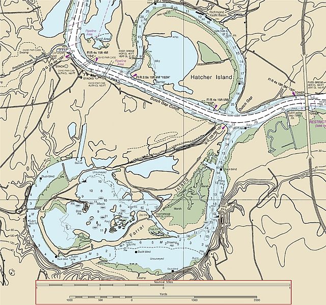
Image: Dutch Gap Canal Map

Size of this preview: 640 × 599 pixels. Other resolutions: 256 × 240 pixels | 1,880 × 1,760 pixels.
Original image (1,880 × 1,760 pixels, file size: 1.97 MB, MIME type: image/jpeg)
Description: This map was adapted from NOAA Chart 12252. It has been modified for use in Wikipedia to illustrate area around the Dutch Gap Canal on the James River in Virginia.
Title: Dutch Gap Canal Map
Credit: Adapted from: NOAA Chart 12252 James River: Jordan Point to Richmond, 1/20,000 2004
Author: Original Map from: Office of Coast Survey, National Oceanic and Atmospheric Administration, U.S. Department of Commerce
Usage Terms: Public domain
License: Public domain
Attribution Required?: No
Image usage
The following page links to this image:

All content from Kiddle encyclopedia articles (including the article images and facts) can be freely used under Attribution-ShareAlike license, unless stated otherwise.
