
Image: Dutch Caribbean map
No higher resolution available.
Dutch_Caribbean_map.png (610 × 351 pixels, file size: 47 KB, MIME type: image/png)
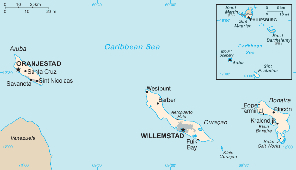
Description: Map of the Dutch Caribbean islands. For a map reflecting the former situation of the Netherlands Antilles, see File:Netherlands Antilles before 1986.png.
Title: Dutch Caribbean map
Credit: Netherlands_Antilles-CIA_WFB_Map.png Aruba_map.png
Author: Netherlands_Antilles-CIA_WFB_Map.png: Hoshie Aruba_map.png: Zaphod derivative work: Thayts (talk)
Usage Terms: Public domain
License: Public domain
Attribution Required?: No
Image usage
The following page links to this image:

All content from Kiddle encyclopedia articles (including the article images and facts) can be freely used under Attribution-ShareAlike license, unless stated otherwise.