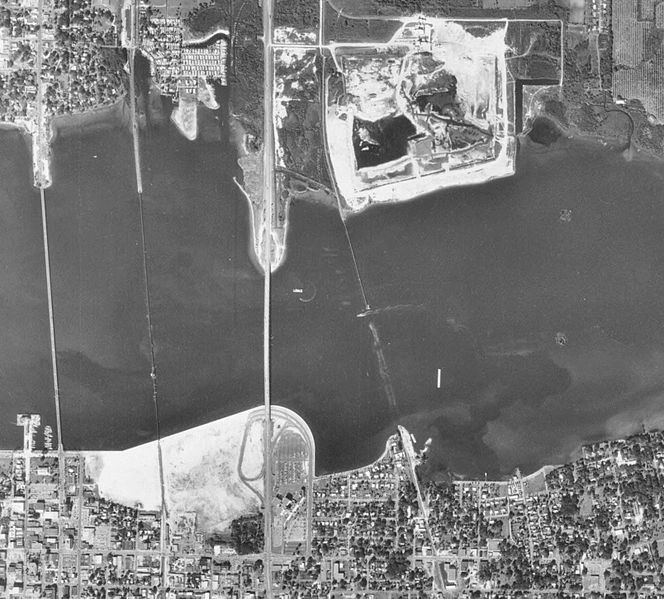
Image: Downtown Bradenton 1970 aerial

Size of this preview: 664 × 599 pixels. Other resolutions: 266 × 240 pixels | 1,608 × 1,451 pixels.
Original image (1,608 × 1,451 pixels, file size: 1,004 KB, MIME type: image/jpeg)
Description: Cropped image from 1970 aerial of Bradenton to show the Bradenton Riverwalk area from 1970. This is to illustrate why the area got the nickname "The Sand Pile"
Title: Downtown Bradenton 1970 aerial
Credit: Aerial photographs of Manatee County - Flight 1MM (1970), Tile 127, http://ufdc.ufl.edu/UF00071767/00015/106j
Author: U.S. Department of Agriculture
Permission: This item is a work of the U.S. federal government and not subject to copyright pursuant to 17 U.S.C. §105
Usage Terms: Public domain
License: Public domain
Attribution Required?: No
Image usage
The following image is a duplicate of this image (more details):
The following page links to this image:

All content from Kiddle encyclopedia articles (including the article images and facts) can be freely used under Attribution-ShareAlike license, unless stated otherwise.
