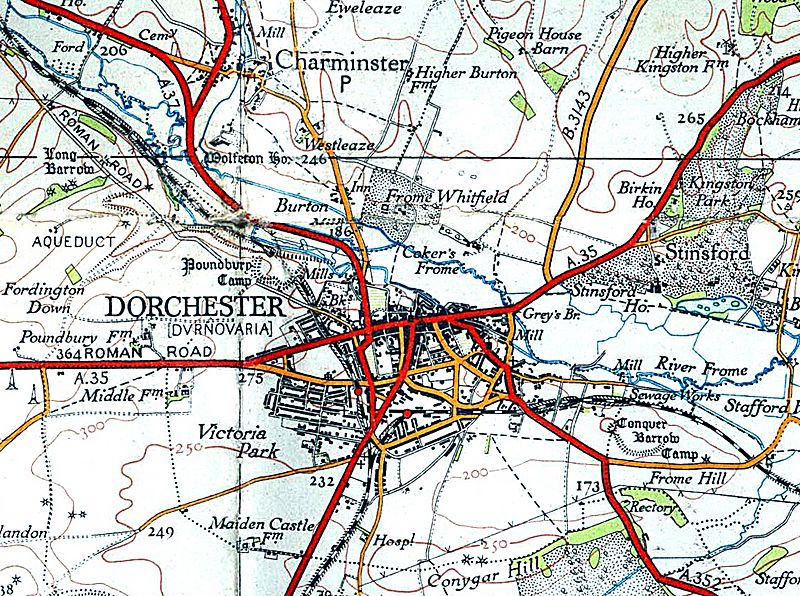
Image: Dorchestermap 1937 (1)

Size of this preview: 800 × 596 pixels. Other resolutions: 320 × 238 pixels | 1,126 × 839 pixels.
Original image (1,126 × 839 pixels, file size: 1,023 KB, MIME type: image/jpeg)
Description: Reproduced from the 1937 OS map Briefly cleaned by Joe D (t) 00:56, 22 August 2006 (UTC) Increased contrast to remove the light grey background Fiddled with colour levels to slightly increase saturation and reverse bleaching/muddying Rotated 0.48 degrees CCW & cropped slightly 100% 2px unsharp mask Some of the mould erased
Title: Dorchestermap 1937 (1)
Credit: Original Map :Ordnance Survey of Great Britan Scanned by : Geni Modifcations : as noted
Author: Original Map :Ordnance Survey of Great Britan
Usage Terms: Public domain
License: Public domain
Attribution Required?: No
Image usage
The following page links to this image:

All content from Kiddle encyclopedia articles (including the article images and facts) can be freely used under Attribution-ShareAlike license, unless stated otherwise.
