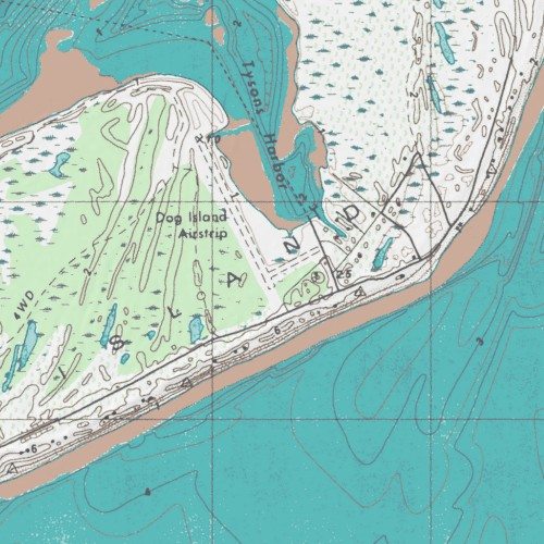
Image: Dog Island Airport Topograpgical Map
Dog_Island_Airport_Topograpgical_Map.jpg (500 × 500 pixels, file size: 73 KB, MIME type: image/jpeg)
Description: Topographical Map of Dog Island Airport
Title: Dog Island Airport Topograpgical Map
Credit: http://wms.mytopo.com/wrap/netmapwrapper_mytopo.aspx?VERSION=1.1.1&REQUEST=GetMap&layers=drg,hillshade&map=\Mapserver\mapfiles\zone16.map&width=500&height=500&bbox=732024,3298628,734524,3301128&srs=EPSG:26916&format=image/jpeg
Author: U.S. Geological Survey
Usage Terms: Public domain
License: Public domain
Attribution Required?: No
Image usage
The following page links to this image:

All content from Kiddle encyclopedia articles (including the article images and facts) can be freely used under Attribution-ShareAlike license, unless stated otherwise.

