
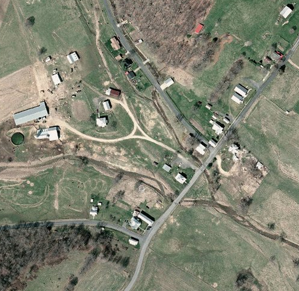
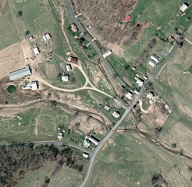
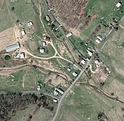
Image: Doe Hill, Virginia National Map
Size of this preview: 616 × 600 pixels. Other resolutions: 246 × 240 pixels | 998 × 972 pixels.
Original image (998 × 972 pixels, file size: 700 KB, MIME type: image/jpeg)
Description: Aerial view of the community of Doe Hill, Highland County, Virginia.
Title: Doe Hill, Virginia National Map
Credit: The National Map, [1]
Author: USGS
Usage Terms: Public domain
License: Public domain
Attribution Required?: No
Image usage
The following page links to this image:

All content from Kiddle encyclopedia articles (including the article images and facts) can be freely used under Attribution-ShareAlike license, unless stated otherwise.