
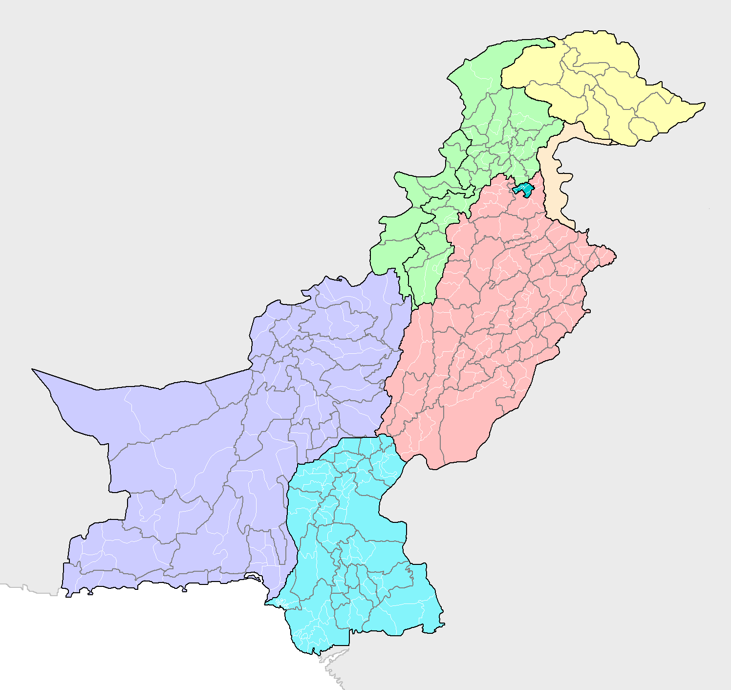
Image: Districts and tehsils of Pakistan
Size of this preview: 635 × 599 pixels. Other resolutions: 254 × 240 pixels | 1,496 × 1,412 pixels.
Original image (1,496 × 1,412 pixels, file size: 76 KB, MIME type: image/png)
Description: Map of the districts of Pakistan, with their constituent tehsils (thin white borders). Map includes the disputed areas. Created by Rarelibra 20:47, 31 October 2007 (UTC) for public domain use, using MapInfo Professional v8.5 and various mapping resources.
Title: Districts and tehsils of Pakistan
Credit: Own work
Author: Rarelibra
Usage Terms: Public domain
License: Public domain
Attribution Required?: No
Image usage
The following image is a duplicate of this image (more details):
The following page links to this image:

All content from Kiddle encyclopedia articles (including the article images and facts) can be freely used under Attribution-ShareAlike license, unless stated otherwise.