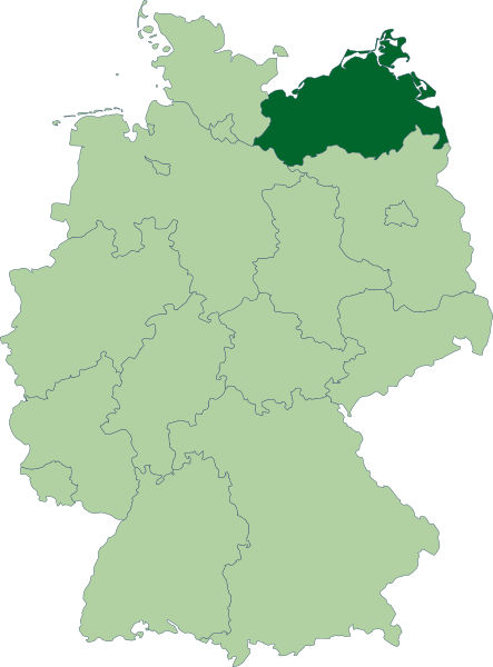
Image: Deutschland Lage von Mecklenburg-Vorpommern

Description: Karte der Bundesrepublik Deutschland mit eingezeichneten Grenzen. Das Land Mecklenburg-Vorpommern ist farblich hervorgehoben.
Title: Deutschland Lage von Mecklenburg-Vorpommern
Credit: Erstellt aus Material des gemeinsamen Datenangebotes aus dem gemeinsamen Portal der statistischen Ämter des Bundes und der Länder (DeStatis). [1]
Author: David Liuzzo
Permission: This file is licensed under the Creative Commons Attribution-Share Alike 2.0 Germany license. You are free: to share – to copy, distribute and transmit the work to remix – to adapt the work Under the following conditions: attribution – You must attribute the work in the manner specified by the author or licensor (but not in any way that suggests that they endorse you or your use of the work). share alike – If you alter, transform, or build upon this work, you may distribute the resulting work only under the same or similar license to this one. http://creativecommons.org/licenses/by-sa/2.0/de/deed.en CC BY-SA 2.0 de Creative Commons Attribution-Share Alike 2.0 de truetrue
Usage Terms: Creative Commons Attribution-Share Alike 2.0 de
License: CC BY-SA 2.0 de
License Link: http://creativecommons.org/licenses/by-sa/2.0/de/deed.en
Attribution Required?: Yes
Image usage
The following page links to this image:

