
Image: Delta to WesternVille Oneida NY Gillette 1858
Size of this preview: 800 × 366 pixels. Other resolutions: 320 × 146 pixels | 1,024 × 468 pixels.
Original image (1,024 × 468 pixels, file size: 370 KB, MIME type: image/png)
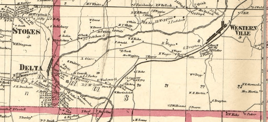
Description: Subset of Gillette's Map of Oneida County NY, Published 1858 Showing the Area between the former village of Delta and Westernville
Title: Delta to WesternVille Oneida NY Gillette 1858
Credit: https://www.loc.gov/resource/g3803o.la000525a/?sp=1
Author: French, J. H. (John Homer), 1824-1888, cartographer, surveyor. Gillette, John E., publisher. Beers, S. N., cartographer (expression) Lake, D. J., cartographer (expression) Beers, F. W. (Frederick W.), cartographer (expression) Smith, Robert Pearsall, 1827-1898, publisher.
Usage Terms: Public domain
License: Public domain
Attribution Required?: No
Image usage
The following page links to this image:

All content from Kiddle encyclopedia articles (including the article images and facts) can be freely used under Attribution-ShareAlike license, unless stated otherwise.