
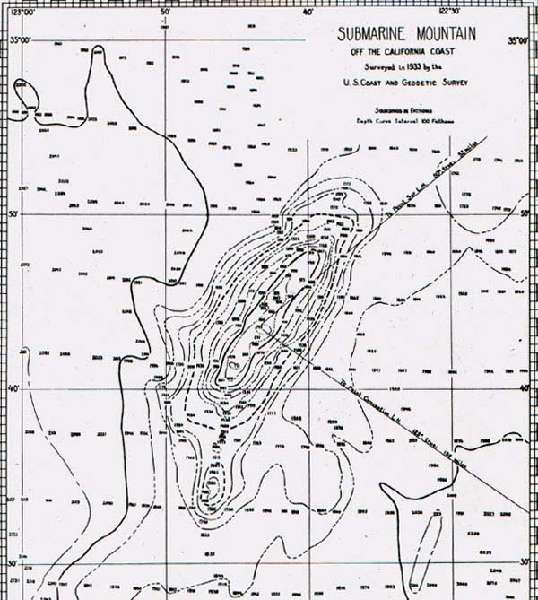
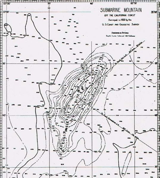
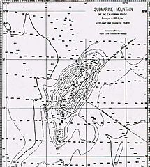
Image: Davidson Seamount
Size of this preview: 538 × 600 pixels. Other resolutions: 215 × 240 pixels | 600 × 669 pixels.
Original image (600 × 669 pixels, file size: 83 KB, MIME type: image/jpeg)
Description: Bathymetric map of what is now called the Davidson Seamount off of Monterey California
Title: Davidson Seamount
Credit: Davidson Seamount Early Map.jpg
Author: United States Coast and Geodetic Survey
Usage Terms: Public domain
License: Public domain
Attribution Required?: No
Image usage
The following 2 pages link to this image:

All content from Kiddle encyclopedia articles (including the article images and facts) can be freely used under Attribution-ShareAlike license, unless stated otherwise.