
Image: Dùn an Achaidh (OS map, 1881)
Size of this preview: 727 × 600 pixels. Other resolutions: 291 × 240 pixels | 749 × 618 pixels.
Original image (749 × 618 pixels, file size: 210 KB, MIME type: image/jpeg)
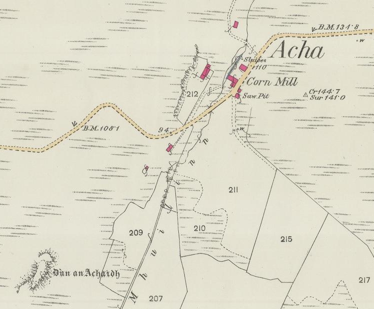
Description: A cropped image of an Ordnance Survey map (Title: Argyll and Bute Sheet L.3 (Coll). Survey date: 1878. Publication date: 1881). This image shows Dùn an Achaidh nearby Acha, on the Inner Hebridean island of Coll.
Title: Dùn an Achaidh (OS map, 1881)
Credit: This image is available from the National Library of Scotland Transferred from en.wikipedia to Commons by Innotata using CommonsHelper. (Original text: National Library of Scotland website.)
Author: Ordnance Survey
Usage Terms: Public domain
License: Public domain
Attribution Required?: No
Image usage
The following page links to this image:

All content from Kiddle encyclopedia articles (including the article images and facts) can be freely used under Attribution-ShareAlike license, unless stated otherwise.
.jpg)