
Image: Cypress Island locator map

Size of this PNG preview of this SVG file: 800 × 566 pixels. Other resolution: 320 × 226 pixels.
Original image (SVG file, nominally 1,052 × 744 pixels, file size: 232 KB)
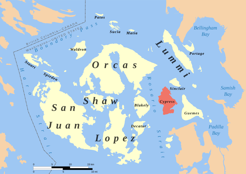
Description: Cypress Island highlighted in red among the San Juan Islands.
Title: Cypress Island locator map
Credit: Cartography: Own work Shorelines: Western Washington University; USGS Land and marine feature labels: US GNIS National border: USGS
Author: Evan Derickson
Usage Terms: Creative Commons Attribution-Share Alike 4.0
License: CC BY-SA 4.0
License Link: https://creativecommons.org/licenses/by-sa/4.0
Attribution Required?: Yes
Image usage
The following page links to this image:

All content from Kiddle encyclopedia articles (including the article images and facts) can be freely used under Attribution-ShareAlike license, unless stated otherwise.