
Image: Cumberland&OxfordCanal
Size of this preview: 420 × 599 pixels. Other resolutions: 168 × 240 pixels | 1,414 × 2,016 pixels.
Original image (1,414 × 2,016 pixels, file size: 207 KB, MIME type: image/png)
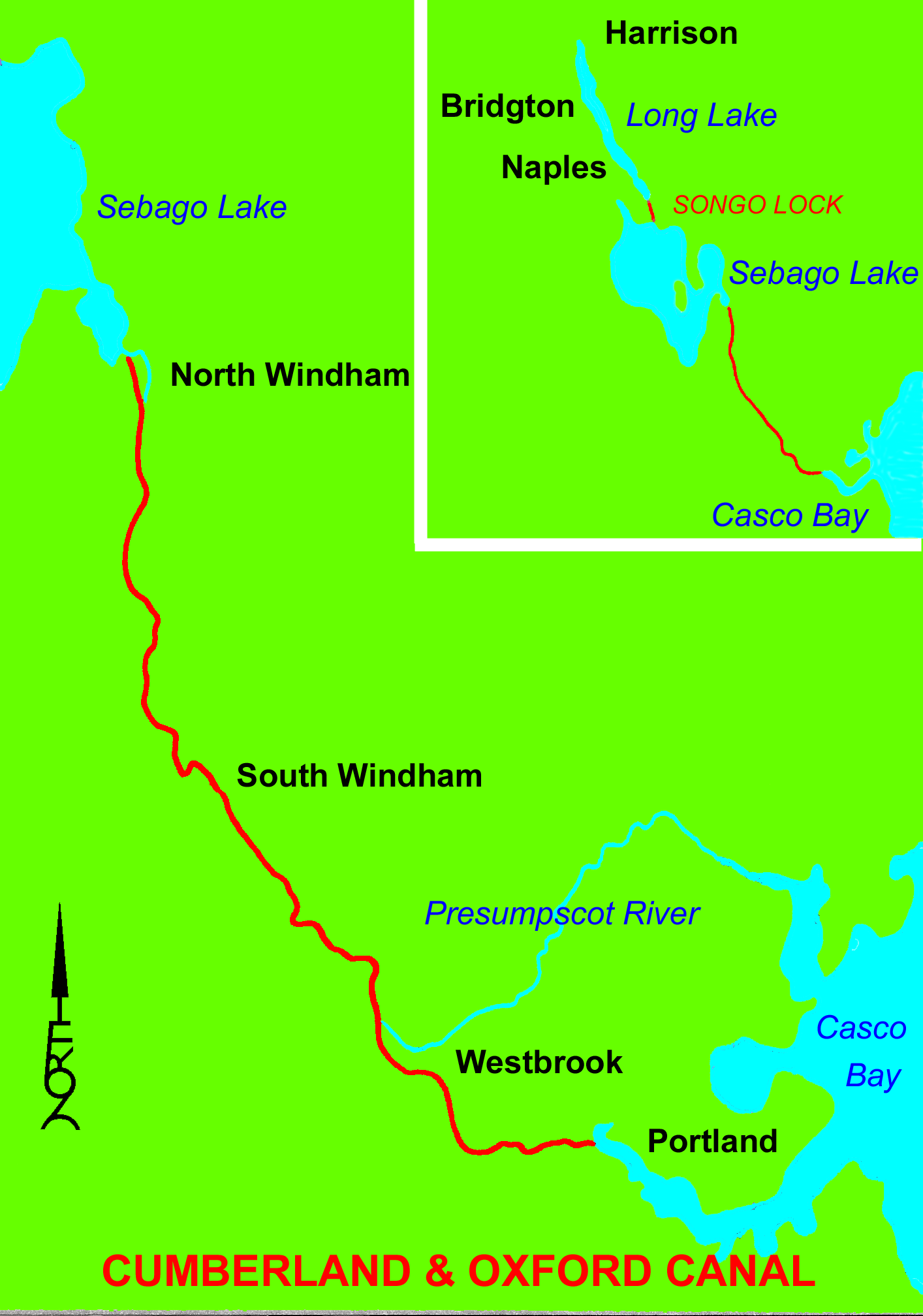
Description: Map of the Cumberland and Oxford Canal (19th century Maine, United States)
Title: Cumberland&OxfordCanal
Credit: Own work
Author: Thewellman
Usage Terms: Public domain
License: Public domain
Attribution Required?: No
Image usage
The following page links to this image:

All content from Kiddle encyclopedia articles (including the article images and facts) can be freely used under Attribution-ShareAlike license, unless stated otherwise.