
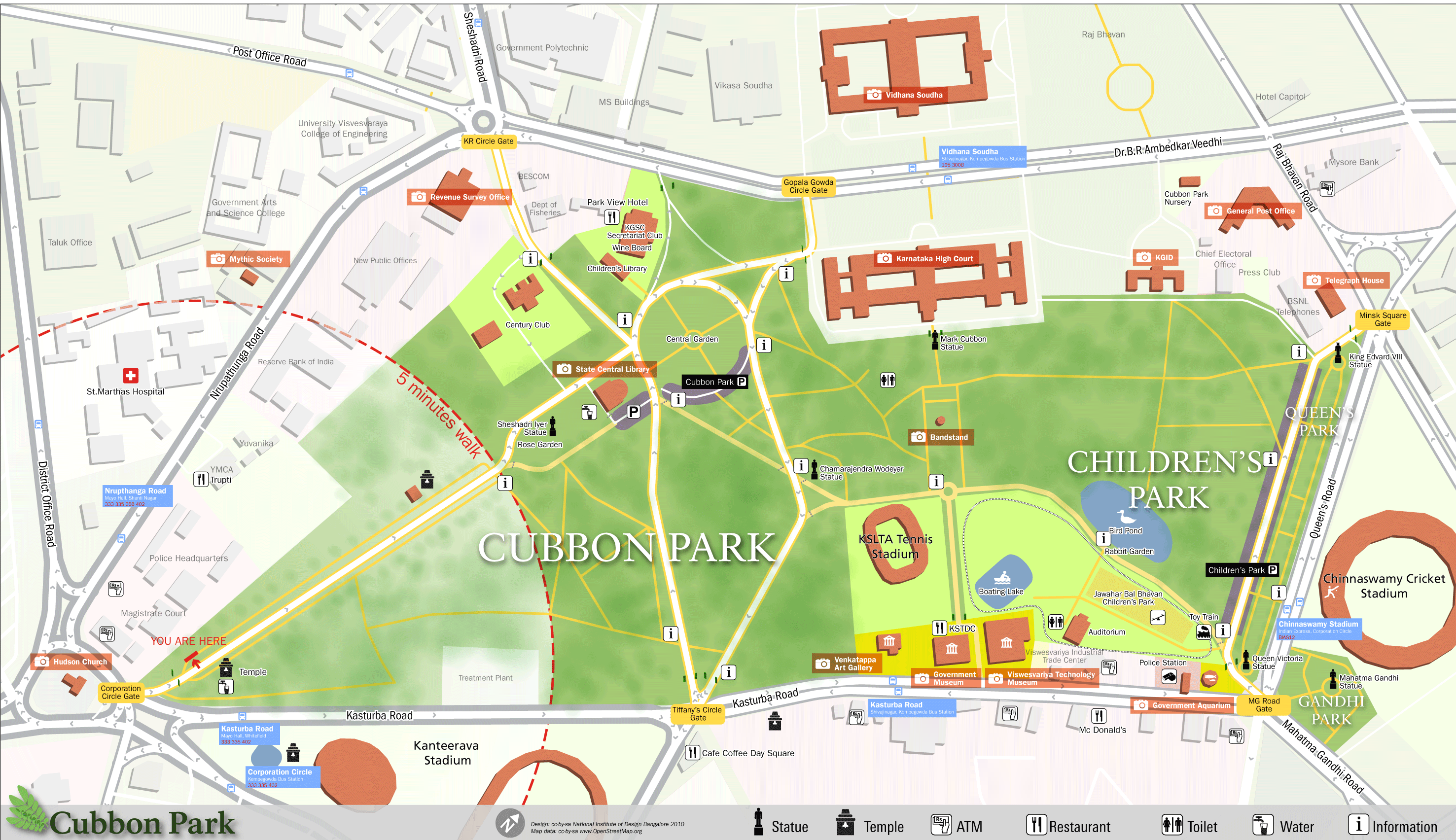
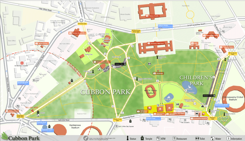
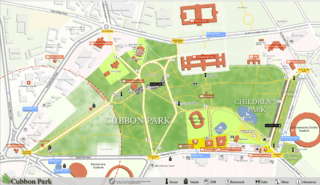
Image: Cubbon Park OSM Map
Size of this preview: 800 × 462 pixels. Other resolutions: 320 × 185 pixels | 2,953 × 1,704 pixels.
Original image (2,953 × 1,704 pixels, file size: 997 KB, MIME type: image/png)
Description: Pedestrian Map for Cubbon park, Bangalore which was created as part of a class project at NID where we developed a system of navigation and wayfinding for visitors to the park. The ground survey was done by students and the data was collected using walking papers. All the data was then added to the openstreetmap database and then exported and processed in Adobe Illustrator for the final output.
Title: Cubbon Park OSM Map
Credit: OpenstreetMap, own work
Author: user:Planemad
Usage Terms: Creative Commons Attribution-Share Alike 3.0
License: CC BY-SA 3.0
License Link: https://creativecommons.org/licenses/by-sa/3.0
Attribution Required?: Yes
Image usage
The following 2 pages link to this image:

All content from Kiddle encyclopedia articles (including the article images and facts) can be freely used under Attribution-ShareAlike license, unless stated otherwise.