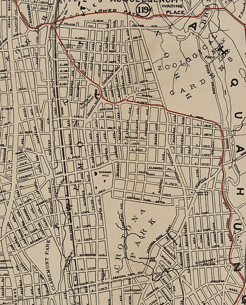
Image: Crotona Park 1912 Map

Size of this preview: 483 × 599 pixels. Other resolutions: 193 × 240 pixels | 2,792 × 3,465 pixels.
Original image (2,792 × 3,465 pixels, file size: 10.3 MB, MIME type: image/jpeg)
Description: Crop from File:Southern part of the borough of the Bronx, from the Bronx Kills to Kingsbridge (1912).jpg showing detail of Crotona Park and immediately surrounding area
Title: Crotona Park 1912 Map
Credit: From The Lionel Pincus & Princess Firyal Map Division, The New York Public Library http://maps.nypl.org/warper/maps/35965#Export_tab
Author: A.R. Ohman Map Co. (Creator) Bolton, Reginald Pelham, 1856-1942 (Creator) Ohman, August R. (Creator) Museum of the American Indian, Heye Foundation (Publisher)
Usage Terms: Creative Commons Zero, Public Domain Dedication
License: CC0
License Link: http://creativecommons.org/publicdomain/zero/1.0/deed.en
Attribution Required?: No
Image usage
The following page links to this image:

All content from Kiddle encyclopedia articles (including the article images and facts) can be freely used under Attribution-ShareAlike license, unless stated otherwise.
