
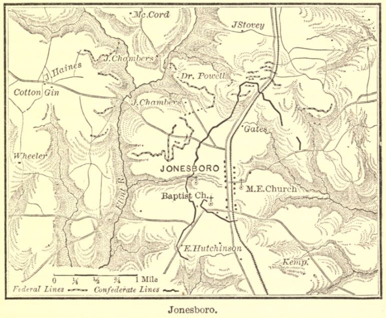
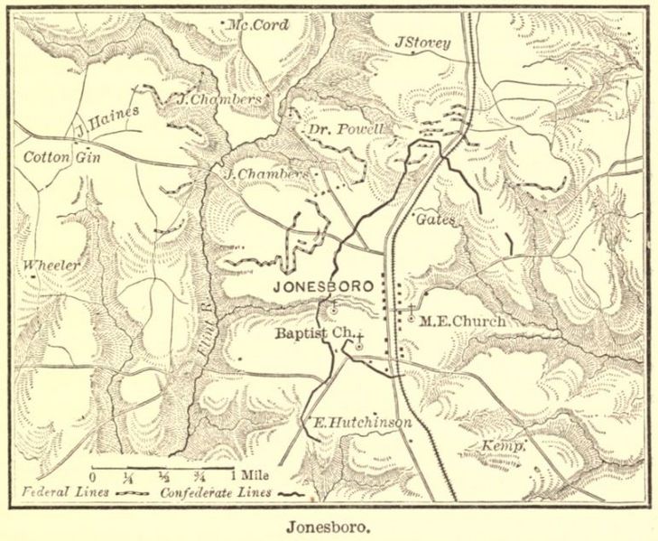
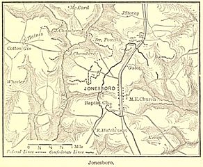
Image: Cox map of Jonesboro
Size of this preview: 729 × 599 pixels. Other resolutions: 292 × 240 pixels | 771 × 634 pixels.
Original image (771 × 634 pixels, file size: 109 KB, MIME type: image/jpeg)
Description: Map shows the Battle of Jonesboro (August 31-September 1, 1864) during the American Civil War. Confederate lines are solid black while Federal lines are dashed.
Title: Cox map of Jonesboro
Credit: https://babel.hathitrust.org/cgi/pt?id=uc2.ark:/13960/t92805p4m&view=1up&seq=220&skin=2021
Author: From page 205 of "Atlanta" by Jacob D. Cox, published by Charles Scribner's Sons, New York, 1882.
Usage Terms: Public domain
License: Public domain
Attribution Required?: No
Image usage
The following page links to this image:

All content from Kiddle encyclopedia articles (including the article images and facts) can be freely used under Attribution-ShareAlike license, unless stated otherwise.