
Image: Copperplate map Fleet
Size of this preview: 208 × 597 pixels. Other resolutions: 83 × 240 pixels | 582 × 1,671 pixels.
Original image (582 × 1,671 pixels, file size: 399 KB, MIME type: image/jpeg)
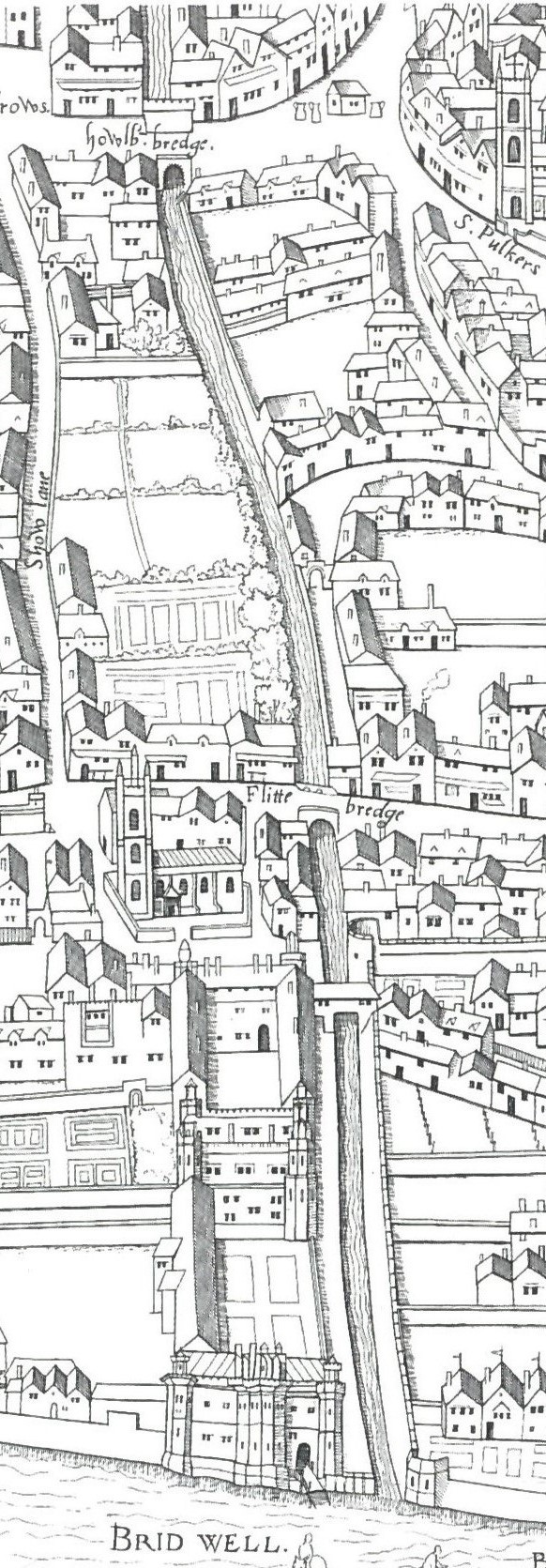
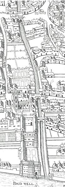
Description: Detail from the "Copperplate" map of London, surveyed 1553-9, showing the southern course of the River Fleet from Holborn Bridge to the Thames.
Title: Copperplate map Fleet
Credit: Ann Saunders and John Schofield (eds), Tudor London: a map and a view (2001)
Author: Unknown
Usage Terms: Public domain
License: Public domain
Attribution Required?: No
Image usage
The following page links to this image:

All content from Kiddle encyclopedia articles (including the article images and facts) can be freely used under Attribution-ShareAlike license, unless stated otherwise.