
Image: Cook-Falklands-Map-1775
Size of this preview: 800 × 369 pixels. Other resolutions: 320 × 148 pixels | 1,661 × 767 pixels.
Original image (1,661 × 767 pixels, file size: 2.22 MB, MIME type: image/png)
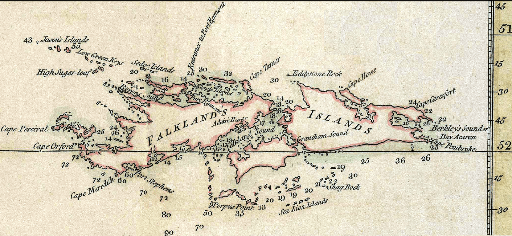
Description: 1777 chart of the Falkland Islands by James Cook.
Title: Cook-Falklands-Map-1775
Credit: J. Cook. A Chart of the Southern Extremity of America 1775. Scale 1:3000000. London: W. Strahan and T. Cadell, 1777 (fragment)
Author: James Cook
Usage Terms: Public domain
License: Public domain
Attribution Required?: No
Image usage
The following page links to this image:

All content from Kiddle encyclopedia articles (including the article images and facts) can be freely used under Attribution-ShareAlike license, unless stated otherwise.