Image: Contrails southeast lrg

Size of this preview: 759 × 600 pixels. Other resolutions: 304 × 240 pixels | 997 × 788 pixels.
Original image (997 × 788 pixels, file size: 651 KB, MIME type: image/png)
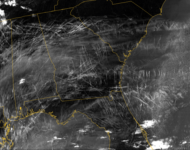
Description: MODIS tracking of contrails generated by air traffic over the southeastern United States on January 29, 2004.
Title: Contrails southeast lrg
Credit: http://earthobservatory.nasa.gov/Newsroom/NewImages/images.php3?img_id=16528
Author: Louis Nguyen, NASA Langley Research Center
Usage Terms: Public domain
License: Public domain
Attribution Required?: No
Image usage

All content from Kiddle encyclopedia articles (including the article images and facts) can be freely used under Attribution-ShareAlike license, unless stated otherwise.
