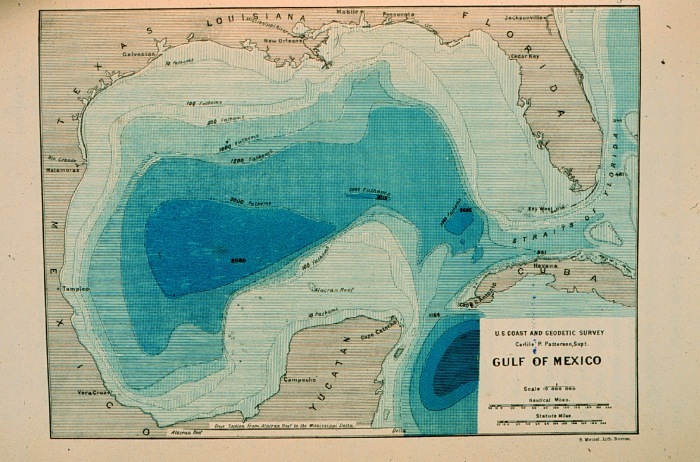
Image: Contour map of Gulf of Mexico 1888
Contour_map_of_Gulf_of_Mexico_1888.jpg (700 × 462 pixels, file size: 137 KB, MIME type: image/jpeg)
Description: Contour map of Gulf of Mexico as sounded by the C&GS Steamer BLAKE between 1873 and 1875. Over 3,000 soundings went into this chart, most of the deep water soundings between taken by the Sigsbee Sounding Machine. This was the first realistic bathymetric map of any oceanic basin. In: "Three Cruises of the BLAKE" by Alexander Agassiz, 1888. P. 102.
Title: Contour map of Gulf of Mexico 1888
Credit: NOAA Central Library Image ID: theb3785, Voyage To Inner Space - Exploring the Seas With NOAA (http://www.photolib.noaa.gov/htmls/theb3785.htm)
Author: U.S. Coast and Geodetic Survey
Usage Terms: Public domain
License: Public domain
Attribution Required?: No
Image usage
The following page links to this image:

All content from Kiddle encyclopedia articles (including the article images and facts) can be freely used under Attribution-ShareAlike license, unless stated otherwise.

