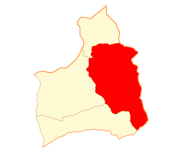
Image: Comuna de Putre

Size of this PNG preview of this SVG file: 600 × 500 pixels. Other resolution: 288 × 240 pixels.
Original image (SVG file, nominally 600 × 500 pixels, file size: 13 KB)
Description: Mapa de la comuna de Putre, en la Región de Arica y Parinacota.
Title: Comuna de Putre
Credit: Own work Legal disclaimer The edition and circulation of maps, geographic charts and other documents about the boundaries and frontiers of Chile, don't have any relation with the Republic of Chile, according to the Article 2 g) of DFL Nº83 of 1979 of the Ministery of Foreign Affairs.
Author: Osmar Valdebenito
Permission: Osmar Valdebenito, the copyright holder of this work, hereby publishes it under the following license:
Usage Terms: Creative Commons Attribution-Share Alike 2.5
License: CC BY-SA 2.5
License Link: https://creativecommons.org/licenses/by-sa/2.5
Attribution Required?: Yes
Image usage
The following page links to this image:

All content from Kiddle encyclopedia articles (including the article images and facts) can be freely used under Attribution-ShareAlike license, unless stated otherwise.
