
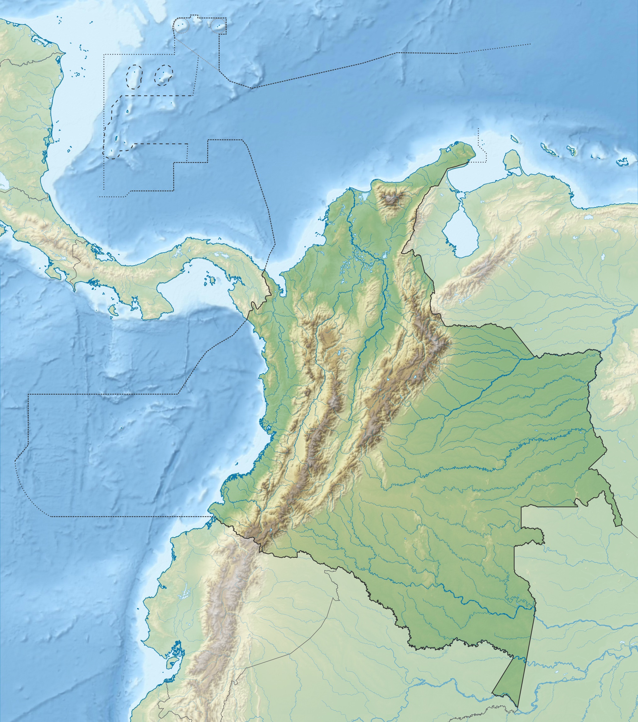
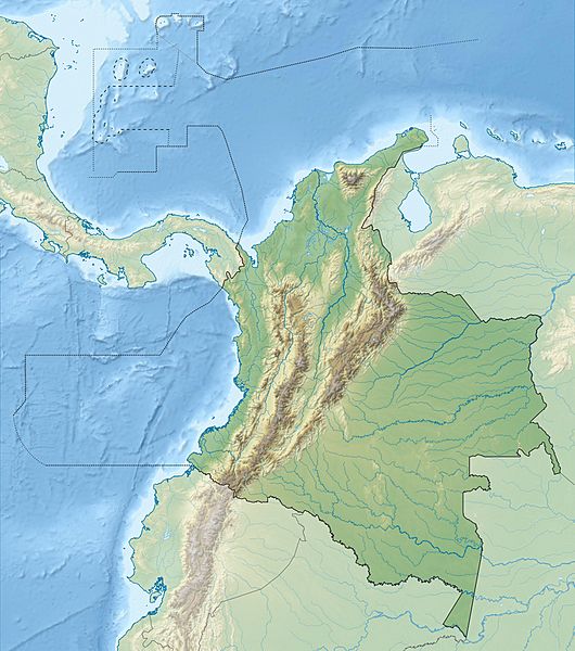
Image: Colombia relief location map
Size of this preview: 530 × 600 pixels. Other resolutions: 212 × 240 pixels | 2,028 × 2,294 pixels.
Original image (2,028 × 2,294 pixels, file size: 1.1 MB, MIME type: image/jpeg)
Description: Physical Location map of Colombia Equirectangular projection. Geographic limits of the map:
Title: Colombia relief location map
Credit: Own work File:Colombia location map.svg SRTM3, ETOPO1
Author: Grundkarte Shadowxfox, Relief Alexrk2
Usage Terms: Creative Commons Attribution-Share Alike 3.0
License: CC BY-SA 3.0
License Link: http://creativecommons.org/licenses/by-sa/3.0
Attribution Required?: Yes
Image usage
The following 80 pages link to this image:
- Aguazuque
- Alto de Nique
- Arzobispo River
- Azufral
- Bahia Honda (Colombia)
- Bahia Portete (La Guajira, Colombia)
- Baudó River
- Caguán River
- Checua
- Chicamocha Canyon
- Cojines del Zaque
- Colombian Massif
- Cuja River
- Cumbal Volcano
- Dapa, Valle del Cauca
- Departments of Colombia
- Doña Juana
- El Abra
- El Escondido
- El Infiernito
- El Peñón de Guatapé
- El Volador hill
- Farallones de Cali
- Fucha River
- Galeras
- Gulf of Darién
- Guáitara River
- Hunzahúa Well
- La Cumbre, Valle del Cauca
- Lake Herrera
- Las Ánimas (volcano)
- Lebrija River
- Margarita Island (Colombia)
- Mira River (Ecuador and Colombia)
- Montes de María
- Naya River
- Nevado El Cisne
- Nevado del Huila
- Nevado del Quindío
- Nevado del Tolima
- Paramillo Massif
- Patía River
- Petacas
- Pico Cristóbal Colón
- Pico Simón Bolívar
- Pristimantis actinolaimus
- Pristimantis lichenoides
- Pristimantis polemistes
- Pristimantis tribulosus
- Pristimantis veletis
- Puracé
- Ritacuba Blanco
- Romeral (volcano)
- Roncador Cay
- Rosario Islands
- San Andrés (island)
- San José Island (Colombia)
- Santa Catalina Island (Colombia)
- Santa Isabel (volcano)
- Sapzurro
- Serranía de Chiribiquete
- Serranía de Los Motilones
- Serranía de Macuira
- Serranía de San Lucas
- Serranía de la Macarena
- Serranía del Baudó
- Serranía del Darién
- Serranía del Perijá
- Serranía del Pinche
- Sierra Nevada de Santa Marta
- Sotará (volcano)
- Sumapaz River
- Sun Temple (Sogamoso)
- Suárez River
- Tequendama
- Teusacá River
- Tibitó
- Tomo River
- Tunjuelo River
- Template:Location map Colombia

All content from Kiddle encyclopedia articles (including the article images and facts) can be freely used under Attribution-ShareAlike license, unless stated otherwise.