Image: CliffeFortBrennan0299

Size of this preview: 800 × 600 pixels. Other resolutions: 320 × 240 pixels | 2,016 × 1,512 pixels.
Original image (2,016 × 1,512 pixels, file size: 818 KB, MIME type: image/jpeg)
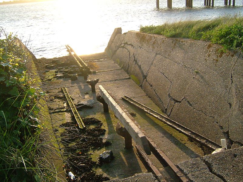
Description: Cliffe Fort is a Royal Commission Fort built at grid reference TQ708767 as part of the defences of Chatham Dockyard. It is on the Thames Estuary, on The Lower Hope. These are the remains of the Brennan Torpedo tracks . Camera location 51° 23′ 12.84″ N, 0° 29′ 24.36″ E View this and other nearby images on: OpenStreetMap 51.386900; 0.490100
Title: CliffeFortBrennan0299
Credit: Own work
Author: ClemRutter
Usage Terms: Creative Commons Attribution 2.5
License: CC BY 2.5
License Link: https://creativecommons.org/licenses/by/2.5
Attribution Required?: Yes
Image usage
The following page links to this image:

All content from Kiddle encyclopedia articles (including the article images and facts) can be freely used under Attribution-ShareAlike license, unless stated otherwise.
