Image: City of Greater Manila map

Size of this preview: 393 × 599 pixels. Other resolutions: 157 × 240 pixels | 1,352 × 2,059 pixels.
Original image (1,352 × 2,059 pixels, file size: 460 KB, MIME type: image/jpeg)
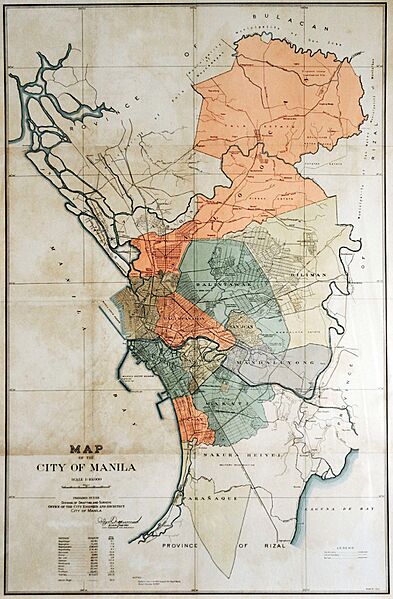
Description: Map of the City of Greater Manila (1942–1945) as prepared by the Office of the City Engineer and Architect of the City of Manila.
Title: City of Greater Manila map
Credit: https://assets.isu.pub/document-structure/210327135441-504a42fce9e9c0dafe948e678988e3b0/v1/68eac8a829832842ad677a95008f9037.jpg
Author: Office of the City Engineer and Architect of the City of Manila
Usage Terms: Public domain
License: Public domain
Attribution Required?: No
Image usage
The following page links to this image:

All content from Kiddle encyclopedia articles (including the article images and facts) can be freely used under Attribution-ShareAlike license, unless stated otherwise.
