
Image: Chippenham1896
Size of this preview: 586 × 599 pixels. Other resolutions: 235 × 240 pixels | 782 × 800 pixels.
Original image (782 × 800 pixels, file size: 150 KB, MIME type: image/jpeg)
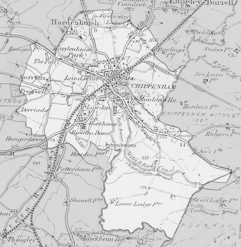
Description: Map of Chippenham from the Ordnance Survey 1896 revision of the one inch to one mile map. The modern parish boundary has been superimposed.
Title: Chippenham1896
Credit: Transferred from en.wikipedia to Commons by Oxyman using CommonsHelper.
Author: The original uploader was Foxhill at English Wikipedia
Usage Terms: Public domain
License: Public domain
Attribution Required?: No
Image usage
The following page links to this image:

All content from Kiddle encyclopedia articles (including the article images and facts) can be freely used under Attribution-ShareAlike license, unless stated otherwise.