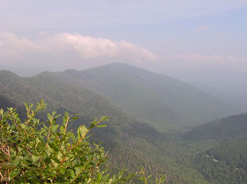
Image: Chimney-tops-sugarland-mountain

Size of this preview: 800 × 597 pixels. Other resolutions: 320 × 239 pixels | 1,200 × 895 pixels.
Original image (1,200 × 895 pixels, file size: 190 KB, MIME type: image/jpeg)
Description: Sugarland Mountain, looking north from the Chimney Tops. The Sugarland Mountain massif runs north to south across the central Smokies, with its base near the Sugarlands Visitor Center. Its southern tip terminates on the northern slope of Mount Collins. The Sugarland Mountain Trail traverses the mountain.
Title: Chimney-tops-sugarland-mountain
Credit: Own work
Author: Brian Stansberry
Usage Terms: Creative Commons Attribution 2.5
License: CC BY 2.5
License Link: https://creativecommons.org/licenses/by/2.5
Attribution Required?: Yes
Image usage
The following page links to this image:

All content from Kiddle encyclopedia articles (including the article images and facts) can be freely used under Attribution-ShareAlike license, unless stated otherwise.
